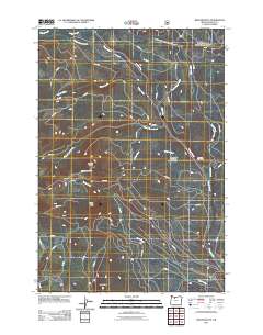
2011 Map of Beaver Butte
USGS Topo · Published 2011About this map
Beaver Creek and its many tributaries, including Cedar Swamp Creek and Beaver Butte Creek, carve through this section of Wasco County. The landscape is defined by significant elevations such as Beaver Butte, Rocky Point, and the southern extent of Long Ridge. This map captures a specialized corner of the Oregon interior where natural preservation and timber industry history overlap, anchored by the Persia M Robinson Natural Area and the Robinson Picnic Area.
Find a feature on this map
49 named features on this map. Tap any name to fly to it.
Don’t see what you’re looking for? This feature index may not catch every label — zoom into the map to look around manually.
Map Details
Editions of this 2011 Beaver Butte Map
This is the sole edition of this map. No revisions or reprints were ever made.
Other maps of this area

1924 · Mount Hood
USGS Topo · 1:125,000

1927 · Mount Hood
USGS Topo · 1:125,000

1927 · Mt. Jefferson
USGS Topo · 1:125,000

1928 · Madras
USGS Topo · 1:125,000

1930 · Mt. Jefferson
USGS Topo · 1:125,000

1930 · Dufur
USGS Topo · 1:125,000

1931 · Madras
USGS Topo · 1:125,000

1934 · Dufur
USGS Topo · 1:125,000

1953 · The Dalles
USGS Topo · 1:250,000

1955 · Bend
USGS Topo · 1:250,000