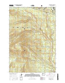
2017 Map of Beaver Butte
USGS Topo · Published 2017About this map
Mount Hood National Forest lands dominate this high-altitude landscape, where numerous tributaries carve through the timbered slopes of the Cascade Range. The terrain is defined by prominent elevations such as Beaver Butte and Rocky Point, providing a complex network of ridges and drainages that feed into Beaver Cr and Butte Cr. This 2017 survey reveals the extensive logging and service road infrastructure, including Beaver Lookout Rd and Mount Wilson Rd, which crisscross the forest to provide access for resource management and fire prevention.
Find a feature on this map
46 named features on this map. Tap any name to fly to it.
Don’t see what you’re looking for? This feature index may not catch every label — zoom into the map to look around manually.
Map Details
Editions of this 2017 Beaver Butte Map
This is the sole edition of this map. No revisions or reprints were ever made.
Other maps of this area

1924 · Mount Hood
USGS Topo · 1:125,000

1927 · Mount Hood
USGS Topo · 1:125,000

1927 · Mt. Jefferson
USGS Topo · 1:125,000

1928 · Madras
USGS Topo · 1:125,000

1930 · Mt. Jefferson
USGS Topo · 1:125,000

1930 · Dufur
USGS Topo · 1:125,000

1931 · Madras
USGS Topo · 1:125,000

1934 · Dufur
USGS Topo · 1:125,000

1953 · The Dalles
USGS Topo · 1:250,000

1955 · Bend
USGS Topo · 1:250,000