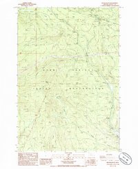
1985 Map of Beaver Butte
USGS Topo · Published 1985About this map
Warm Springs Indian Reservation and the Mt Hood National Forest meet in this 1985 survey, revealing a landscape defined by historically contested borders. The map uniquely preserves three distinct survey lines marking the Old Indian Reservation Boundary (Campbell Line 1870), the Handley Line 1871, and the Mc Quinn Line 1887. These shifting demarcations illustrate the complex administrative history of the high desert and forest transition in Wasco County.
Find a feature on this map
28 named features on this map. Tap any name to fly to it.
Don’t see what you’re looking for? This feature index may not catch every label — zoom into the map to look around manually.
Map Details
Editions of this 1985 Beaver Butte Map
This is the sole edition of this map. No revisions or reprints were ever made.
Other maps of this area

1924 · Mount Hood
USGS Topo · 1:125,000

1927 · Mount Hood
USGS Topo · 1:125,000

1927 · Mt. Jefferson
USGS Topo · 1:125,000

1928 · Madras
USGS Topo · 1:125,000

1930 · Mt. Jefferson
USGS Topo · 1:125,000

1930 · Dufur
USGS Topo · 1:125,000

1931 · Madras
USGS Topo · 1:125,000

1934 · Dufur
USGS Topo · 1:125,000

1953 · The Dalles
USGS Topo · 1:250,000

1955 · Bend
USGS Topo · 1:250,000