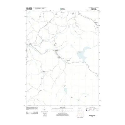
1963 Map of Beaverdale
USGS Topo · Published 1965About this map
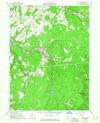
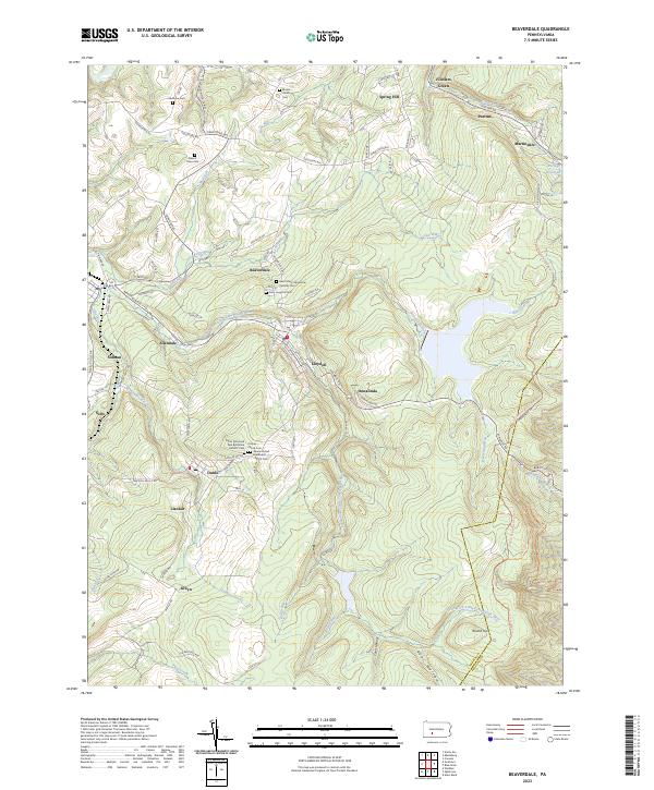
The industrial coal landscape of the Little Conemaugh River valley defines this mid-century survey, where the Pennsylvania railroad lines weave through narrow valleys to serve numerous extraction sites. Heavy mining activity is evident through widespread Strip Mine operations and refuse areas surrounding settlements like Beaverdale and Lloydell. These company towns are tightly packed along the watercourse, while the surrounding uplands of Spring Hill and State Game Lands No 26 remain largely forested. Genealogists will find several small burial grounds including Sherbine Cem, St Marys Cem, and Mt Union Cem, alongside social landmarks like the Buckhorn Grange. The presence of the Drive-in Theater near Fiddlers Green and the Triangle Area High Sch reflects the mid-1960s community infrastructure serving the families of the Cambria County coalfields.
Find a feature on this map
53 named features on this map. Tap any name to fly to it.
Don’t see what you’re looking for? This feature index may not catch every label — zoom into the map to look around manually.
Map Details
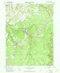
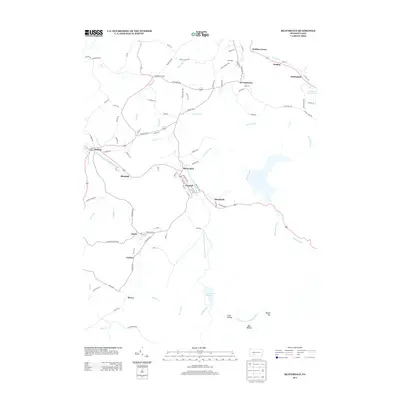
Editions of this 1963 Beaverdale Map
4 editions found
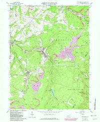
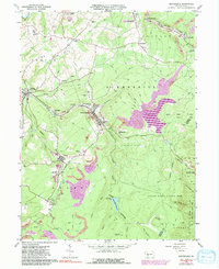
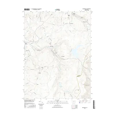
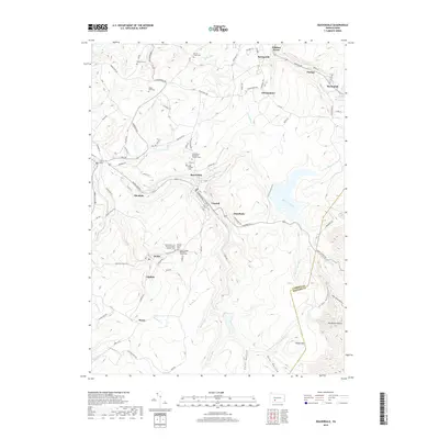
Historical Maps of Pavia Township Through Time
6 maps found
Featured Locations
- Pavia Township, PA
- Adams Township, PA
- Portage Township, PA
- Puritan, Portage Township
- Krayn, Adams Township