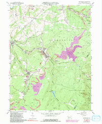
1963 Map of Beaverdale
USGS Topo · Published 1991About this map
Industrial coal mining and the rail infrastructure of the Conrail line dominate this landscape of the Allegheny Front. Centered on the communities of Beaverdale and Lloydell, the map documents an era of extensive surface and deep mining, marked by numerous Tipple locations and Mine Dumps scattered across the ridges. The extraction economy is balanced by the expansion of the Beaverdam Reservoir and the presence of State Game Lands No 26, showing the transition from intensive industry to protected natural areas.
Find a feature on this map
62 named features on this map. Tap any name to fly to it.
Don’t see what you’re looking for? This feature index may not catch every label — zoom into the map to look around manually.
Map Details
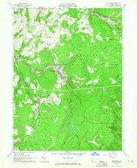
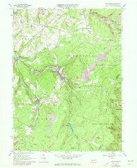
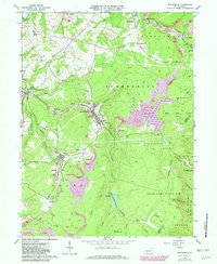
Editions of this 1963 Beaverdale Map
4 editions found
Other maps of this area

1902 · Ebensburg
USGS Topo · 1:62,500

1904 · Ebensburg
USGS Topo · 1:62,500

1904 · Johnstown
USGS Topo · 1:62,500

1907 · Johnstown
USGS Topo · 1:62,500

1908 · Bedford
USGS Topo · 1:62,500

1910 · Bedford
USGS Topo · 1:62,500

1914 · Windber
USGS Topo · 1:62,500

1916 · Windber
USGS Topo · 1:62,500

1944 · Windber
USGS Topo · 1:62,500

1953 · Pittsburgh
USGS Topo · 1:250,000
Featured Places
- Pavia Township, PA
- Portage Township, PA
- Adams Township, PA
- Krayn, Adams Township
- Puritan, Portage Township