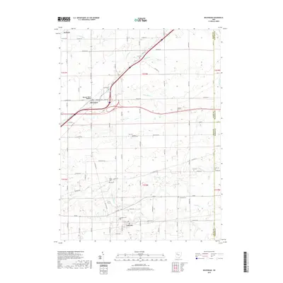
2023 Map of Beaverdam
USGS Topo · Published 2023About this map
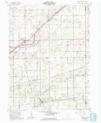
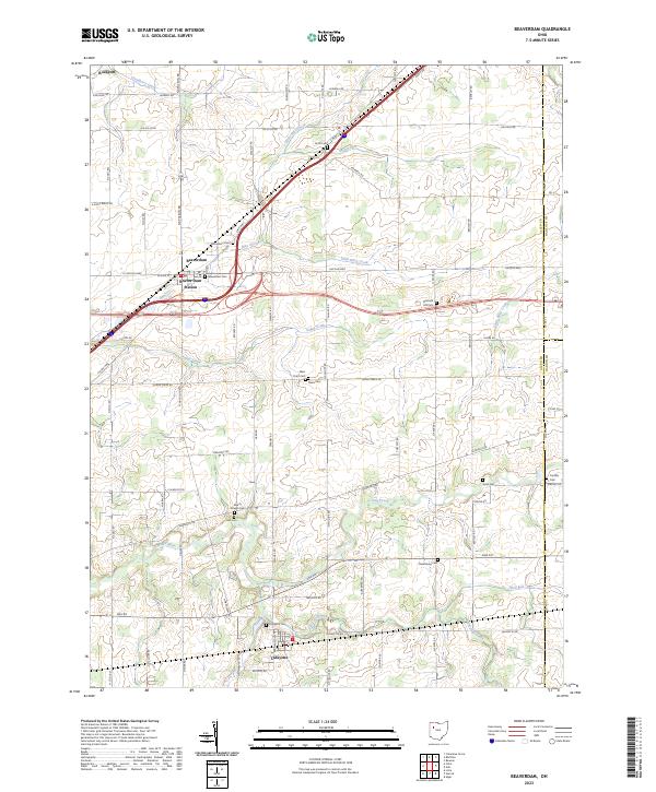
Beaverdam and Lafayette anchor this modern topographical study of Allen County, where the historic Lincoln Hwy and Dixie Hwy converge. The landscape is defined by its agricultural layout and a significant network of burial grounds, including the Woodland Cem and Beaverdam Cem north of the village. The drainage pattern of the region is intricate, with Sugar Creek and Marsh Run flowing through the central fields, while Hog Creek and the Ottawa River dominate the southern sections near Lafayette. This contemporary update traces the enduring placement of landmarks like the Beaver Dam Station and smaller crossroads like Rockport against the modern infrastructure of the interstate era. Genealogists will find the distribution of family and community plots such as Pleasant Hill Cem and Liberty Chapel Cem helpful for locating historic homesteads.
Find a feature on this map
77 named features on this map. Tap any name to fly to it.
Don’t see what you’re looking for? This feature index may not catch every label — zoom into the map to look around manually.
Map Details
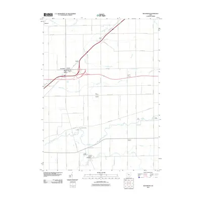
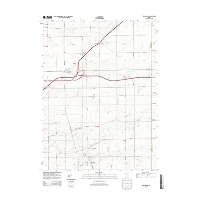
Editions of this 2023 Beaverdam Map
This is the sole edition of this map. No revisions or reprints were ever made.
Historical Maps of Beaverdam Through Time
6 maps found