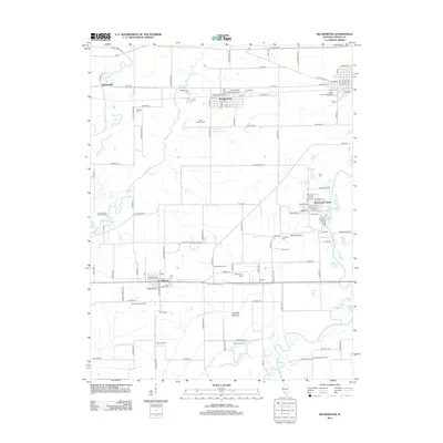
2012 Map of Beckemeyer
USGS Topo · Published 2012About this map
Beckemeyer and Bartelso anchor this Clinton County landscape, where the agricultural traditions of the Schuetz Farm and Loepker Dairy Farm meet the industrial footprint of the Bartelso Oil Field. The eastern portion of the map is defined by the winding course of the Kaskaskia River and a dense network of oxbows and backwaters, including Goose Lake, Savage Lake, and Bear Lake. This riverine environment is protected by significant engineering works like the Hanover Levee and Santa Fe Levee, which safeguard the low-lying Santa Fe Bottoms. For family historians, the area is rich with local landmarks ranging from the Clinton County Fairgrounds to numerous religious sites such as Saint Cecelia Cem and Saint Anthony Cem. The presence of the Royal Lake Resort near Mossy Lake illustrates the mid-century development of recreational pockets alongside the traditional farming and energy extraction sectors of southern Illinois.
Find a feature on this map
138 named features on this map. Tap any name to fly to it.
Don’t see what you’re looking for? This feature index may not catch every label — zoom into the map to look around manually.
Map Details
Editions of this 2012 Beckemeyer Map
This is the sole edition of this map. No revisions or reprints were ever made.
Other maps of this area

1906 · Breese
USGS Topo · 1:62,500

1907 · Breese
USGS Topo · 1:62,500

1910 · Carlyle
USGS Topo · 1:62,500

1910 · Okawville
USGS Topo · 1:62,500

1931 · Hoyleton
USGS Topo · 1:48,000

1932 · Nashville
USGS Topo · 1:62,500

1936 · Nashville
USGS Topo · 1:62,500

1940 · Okawville
USGS Topo · 1:62,500

1948 · Carlyle
USGS Topo · 1:62,500

1958 · Belleville
USGS Topo · 1:250,000