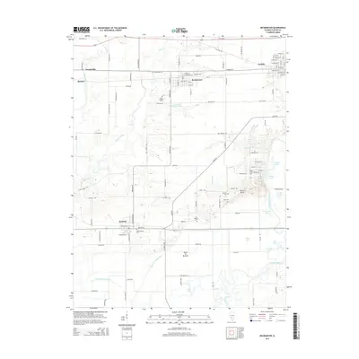
2015 Map of Beckemeyer
USGS Topo · Published 2015About this map
The Kaskaskia River winds through the eastern edge of this landscape, anchoring a complex system of wetlands and lakes including Mossy Lake, Goose Lake, and Bear Lake. The terrain is defined by the Santa Fe Bottoms and drainage systems like the Santa Fe Drainage Ditch, illustrating how the local geography has been managed to support agriculture around the settlements of Beckemeyer and Bartelso. These towns are interconnected by a grid of named rural roads such as Bartelso Rd and Old Carlyle Rd, which provide access to numerous family and community landmarks.
Find a feature on this map
105 named features on this map. Tap any name to fly to it.
Don’t see what you’re looking for? This feature index may not catch every label — zoom into the map to look around manually.
Map Details
Editions of this 2015 Beckemeyer Map
This is the sole edition of this map. No revisions or reprints were ever made.
Other maps of this area

1906 · Breese
USGS Topo · 1:62,500

1907 · Breese
USGS Topo · 1:62,500

1910 · Carlyle
USGS Topo · 1:62,500

1910 · Okawville
USGS Topo · 1:62,500

1931 · Hoyleton
USGS Topo · 1:48,000

1932 · Nashville
USGS Topo · 1:62,500

1936 · Nashville
USGS Topo · 1:62,500

1940 · Okawville
USGS Topo · 1:62,500

1948 · Carlyle
USGS Topo · 1:62,500

1958 · Belleville
USGS Topo · 1:250,000