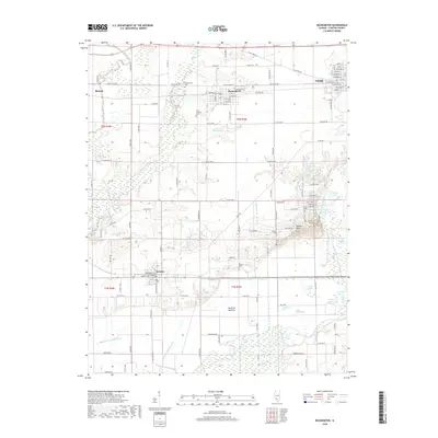
2018 Map of Beckemeyer
USGS Topo · Published 2018About this map
Beckemeyer and its surrounding Clinton County prairie land define this section of the Illinois interior, where the BNSF Railway parallels Old US Hwy 50 across the northern landscape. The terrain transitions from the developed grids of Breese and Carlyle into the low-lying Santa Fe Bottoms, an area shaped by the winding Kaskaskia River and a complex network of drainage infrastructure like the Hanover Drainage Ditch. This hydrologic pattern is further evidenced by a dense collection of oxbow lakes and named wetlands, including Pelican Pouch, Gow Lake, and Mossy Lake. For genealogists, the map is particularly useful for locating smaller rural burial sites such as Saint Anthony Cem and Ira Maddux Cem, which are situated well away from the primary town centers of Bartelso or Beckemeyer.
Find a feature on this map
74 named features on this map. Tap any name to fly to it.
Don’t see what you’re looking for? This feature index may not catch every label — zoom into the map to look around manually.
Map Details
Editions of this 2018 Beckemeyer Map
This is the sole edition of this map. No revisions or reprints were ever made.
Other maps of this area

1906 · Breese
USGS Topo · 1:62,500

1907 · Breese
USGS Topo · 1:62,500

1910 · Carlyle
USGS Topo · 1:62,500

1910 · Okawville
USGS Topo · 1:62,500

1931 · Hoyleton
USGS Topo · 1:48,000

1932 · Nashville
USGS Topo · 1:62,500

1936 · Nashville
USGS Topo · 1:62,500

1940 · Okawville
USGS Topo · 1:62,500

1948 · Carlyle
USGS Topo · 1:62,500

1958 · Belleville
USGS Topo · 1:250,000