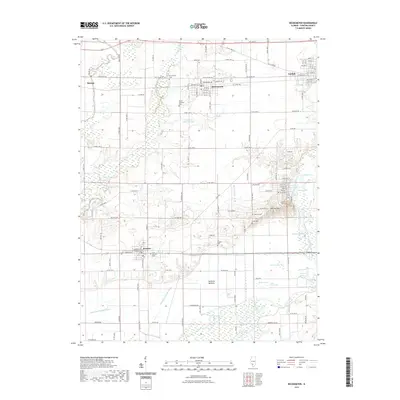
2021 Map of Beckemeyer
USGS Topo · Published 2021About this map
The Kaskaskia River corridor defines the southern landscape of this Clinton County region, where a dense network of backwater lakes and wetlands like Goose Lake, Hog Lake, and Savage Lake creates a complex hydrological environment. The lowland area known as the Santa Fe Bottoms shows the significant engineered efforts to manage this water, evidenced by the Santa Fe Drainage Ditch and the Hanover Drainage Ditch. These drainage systems sit south of the established settlements of Beckemeyer and Bartelso, which are connected by a grid of county roads and the BNSF Railway.
Find a feature on this map
126 named features on this map. Tap any name to fly to it.
Don’t see what you’re looking for? This feature index may not catch every label — zoom into the map to look around manually.
Map Details
Editions of this 2021 Beckemeyer Map
This is the sole edition of this map. No revisions or reprints were ever made.
Other maps of this area

1906 · Breese
USGS Topo · 1:62,500

1907 · Breese
USGS Topo · 1:62,500

1910 · Carlyle
USGS Topo · 1:62,500

1910 · Okawville
USGS Topo · 1:62,500

1931 · Hoyleton
USGS Topo · 1:48,000

1932 · Nashville
USGS Topo · 1:62,500

1936 · Nashville
USGS Topo · 1:62,500

1940 · Okawville
USGS Topo · 1:62,500

1948 · Carlyle
USGS Topo · 1:62,500

1958 · Belleville
USGS Topo · 1:250,000