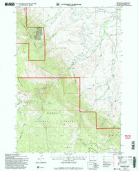
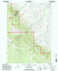
1993 Map of Beckton
USGS Topo · Published 1997About this map
Bighorn National Forest dominates the southwestern portion of this Wyoming survey, where the landscape transitions from the high peaks of She-Bear Mountain and Walker Prairie down through a series of dramatic drainages. The Sheridan Filtration Plant sits along the foothills, illustrating the vital role of this watershed in supporting the nearby community. The map reveals an intricate network of water management, including the Alliance Ditch and No 9 Ditch, which divert flows from Big Goose Creek and Rapid Creek toward the plains. Near the settlement of Beckton, a Historical Marker suggests the early pioneer importance of this corridor where the mountains meet the creek-fed lowlands. This detailed topographic study also traces numerous four-wheel-drive tracks, such as Sand Coulee 4WD, that penetrate the backcountry canyons.
Find a feature on this map
35 named features on this map. Tap any name to fly to it.
Don’t see what you’re looking for? This feature index may not catch every label — zoom into the map to look around manually.
Map Details
Editions of this 1993 Beckton Map
2 editions found
Other maps of this area

1895 · Dayton
USGS Topo · 1:125,000

1901 · Dayton
USGS Topo · 1:125,000

1955 · Sheridan
USGS Topo · 1:250,000

1958 · Sheridan
USGS Topo · 1:250,000

1962 · Sheridan
USGS Topo · 1:250,000

1964 · Wolf
USGS Topo · 1:24,000

1964 · Dayton South
USGS Topo · 1:24,000

1964 · Walker Mountain
USGS Topo · 1:24,000

1964 · Beckton
USGS Topo · 1:24,000
1964 · Dome Lake
USGS Topo · 1:24,000