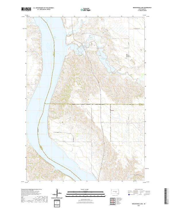
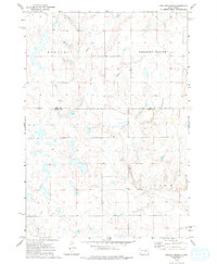
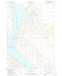
2021 Map of Bedashosha Lake
USGS Topo · Published 2021About this map
Lake Francis Case dominates the western edge of this landscape, its waters filling the Missouri River valley along the boundary between Lyman and Buffalo counties. To the east, the terrain transitions into the complex drainage systems of the Great Plains, featuring the namesake Bedashosha Lake and the winding course of Crow Creek. This area of central South Dakota reflects a mix of Bureau of Indian Affairs infrastructure and local landmarks, including the historic Saint John The Baptist Episcopal Cem situated on the heights overlooking the creek.
Find a feature on this map
25 named features on this map. Tap any name to fly to it.
Don’t see what you’re looking for? This feature index may not catch every label — zoom into the map to look around manually.
Map Details
Editions of this 2021 Bedashosha Lake Map
This is the sole edition of this map. No revisions or reprints were ever made.
Historical Maps of Fort Thompson District Through Time
22 maps found
1966 Big Bend Dam
Buffalo County, SD
1966 Big Bend Dam NE
Buffalo County, SD

1966 Big Bend Dam SE
Buffalo County, SD
1973 Dry Run
Buffalo County, SD
1973 Duncan Church
Buffalo County, SD
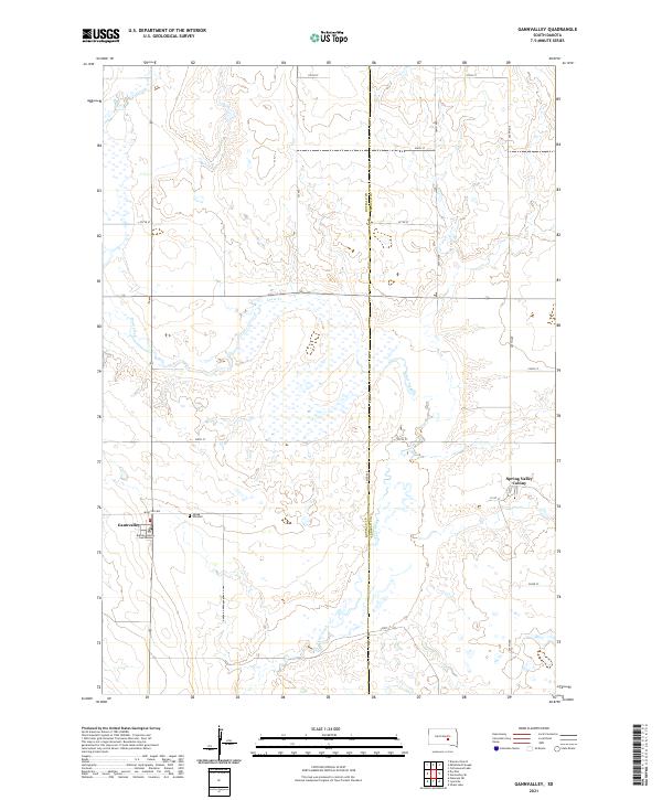
1973 Gannvalley
Buffalo County, SD
1973 North Of Shelby
Buffalo County, SD
1973 Prairie Center School
Buffalo County, SD
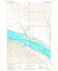
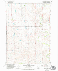
1974 Bedashosha Lake
Buffalo County, SD
1983 Pukwana NE
Buffalo County, SD
1983 Shelby
Buffalo County, SD
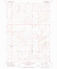
2021 Bedashosha Lake
Buffalo County, SD
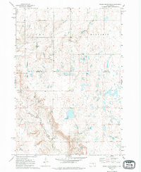
2021 Big Bend Dam
Buffalo County, SD
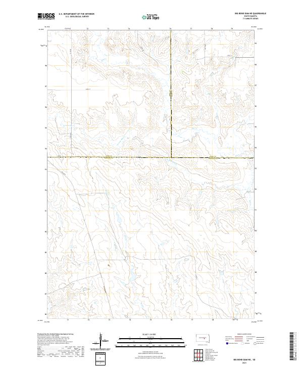
2021 Big Bend Dam NE
Buffalo County, SD
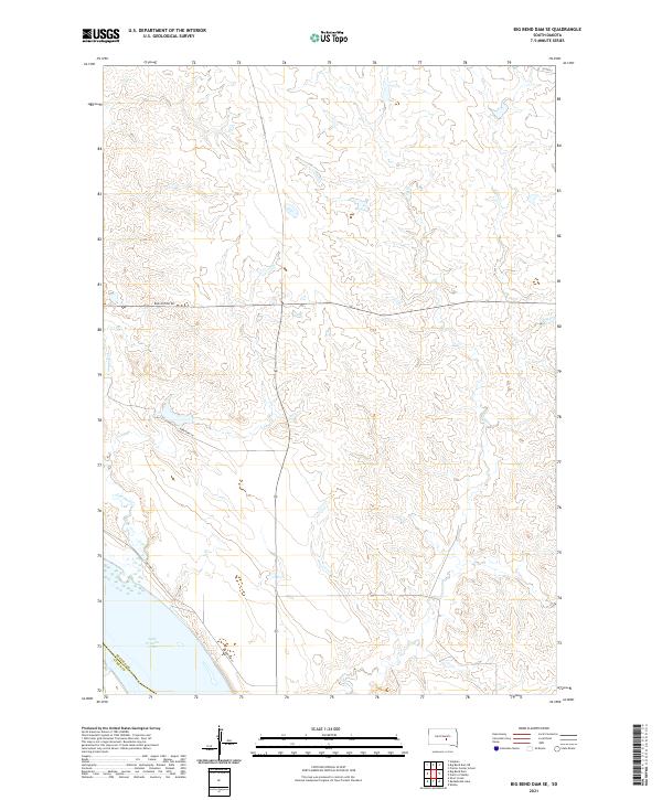
2021 Big Bend Dam SE
Buffalo County, SD
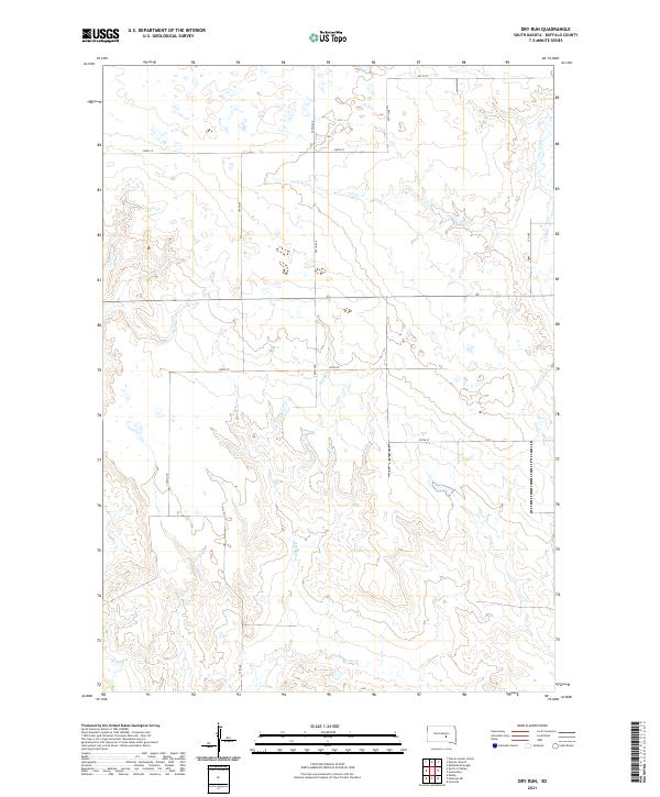
2021 Dry Run
Buffalo County, SD
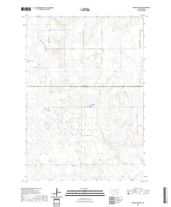
2021 Duncan Church
Buffalo County, SD
2021 Gannvalley
Buffalo County, SD
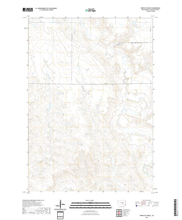
2021 North of Shelby
Buffalo County, SD
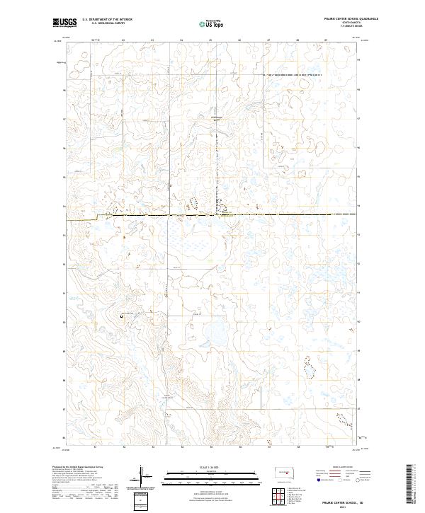
2021 Prairie Center School
Buffalo County, SD
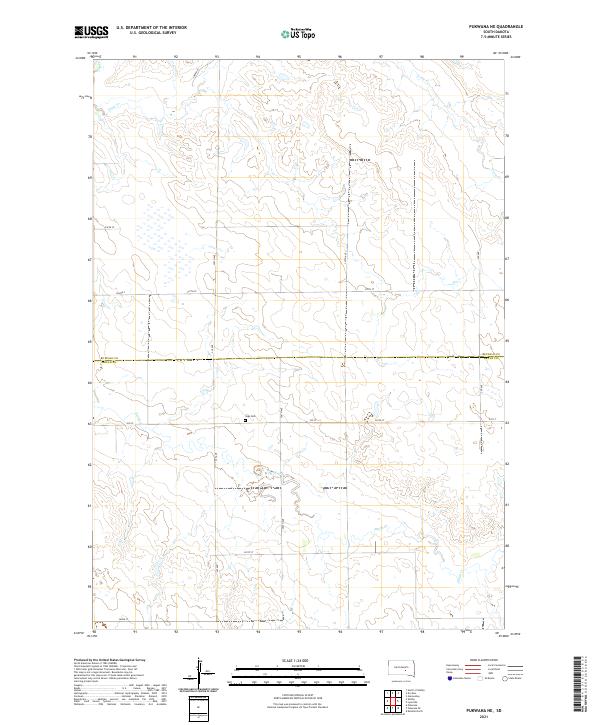
2021 Pukwana NE
Buffalo County, SD
2021 Shelby
Buffalo County, SD
Featured Locations
- Fort Thompson District, SD
- Crow Creek District, SD
- West Point Township, SD
- Grosse, West Point Township
- Wilson Township, Crow Creek District