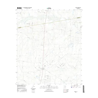
2016 Map of Bedias
USGS Topo · Published 2016About this map
Bedias anchors this East Texas landscape, where the town layout is centered on Main St and Magnolia St near the W Main Loop. The map documents a complex drainage system defining the rural border between Madison Co and Grimes Co, characterized by numerous named tributaries like Kickapoo Cr, Twisted Cr, and Bowman Cr. These waterways feed into larger bodies such as Bedias Cr and Bullard Lake, which together influence the local topography. This 2016 survey illustrates a modern rural infrastructure of Farm to Market roads, including FM 1696 Rd and FM 1372 Rd, alongside numerous county routes like Co Rd 115. The intersection of small-scale water features and named residential or agricultural lanes like Tanglewood Ln and Shiflet Ln reveals a landscape primarily dedicated to ranching and timber-related land use patterns.
Find a feature on this map
67 named features on this map. Tap any name to fly to it.
Don’t see what you’re looking for? This feature index may not catch every label — zoom into the map to look around manually.
Map Details
Editions of this 2016 Bedias Map
This is the sole edition of this map. No revisions or reprints were ever made.
Other maps of this area

1931 · Iola
USGS Topo · 1:62,500

1954 · Beaumont
USGS Topo · 1:250,000

1954 · Austin
USGS Topo · 1:250,000

1956 · Carlos
USGS Topo · 1:62,500

1957 · Beaumont
USGS Topo · 1:250,000

1961 · Singleton
USGS Topo · 1:24,000

1962 · Keith
USGS Topo · 1:24,000

1962 · Connor
USGS Topo · 1:24,000

1963 · Bedias
USGS Topo · 1:24,000

1963 · Steep Branch
USGS Topo · 1:24,000