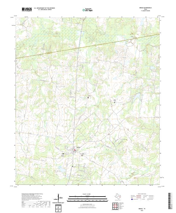
2022 Map of Bedias
USGS Topo · Published 2022About this map
The settlement of Bedias sits at the intersection of several farm-to-market roads in the northern reaches of the post oak savannah. This landscape is defined by its numerous creek systems, including Bedias Cr and S Bedias Cr, which drain the rolling terrain. The map reveals a dense network of local roads and cemeteries that serve as vital markers for genealogical research, with significant sites such as the Bedias Baptist Cem, Bedias Methodist Cem, and the Plaster - Ross Cem located within a short distance of the town center.
Find a feature on this map
73 named features on this map. Tap any name to fly to it.
Don’t see what you’re looking for? This feature index may not catch every label — zoom into the map to look around manually.
Map Details
Editions of this 2022 Bedias Map
This is the sole edition of this map. No revisions or reprints were ever made.
Other maps of this area

1931 · Iola
USGS Topo · 1:62,500

1954 · Beaumont
USGS Topo · 1:250,000

1954 · Austin
USGS Topo · 1:250,000

1956 · Carlos
USGS Topo · 1:62,500

1957 · Beaumont
USGS Topo · 1:250,000

1961 · Singleton
USGS Topo · 1:24,000

1962 · Keith
USGS Topo · 1:24,000

1962 · Connor
USGS Topo · 1:24,000

1963 · Bedias
USGS Topo · 1:24,000

1963 · Steep Branch
USGS Topo · 1:24,000