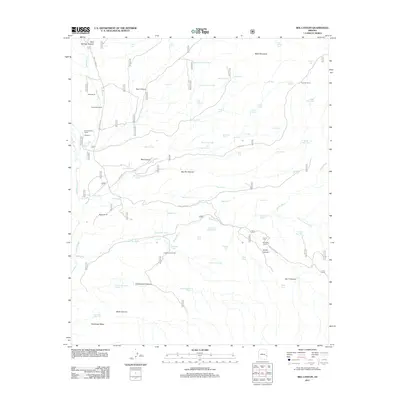
2011 Map of Bee Canyon
USGS Topo · Published 2011About this map
Eagle Creek defines the western edge of this Arizona landscape, carving through a region dominated by canyons and livestock ranching. The 2011 topography reveals a network of established ranching sites, including the Double Circle Ranch, Greenwade Ranch, and the N O Bar Ranch further east. These hubs are connected by a system of tanks and springs, such as Bee Springs Tank and Horse Springs, which are essential for water management in the arid environment.
Find a feature on this map
70 named features on this map. Tap any name to fly to it.
Don’t see what you’re looking for? This feature index may not catch every label — zoom into the map to look around manually.
Map Details
Editions of this 2011 Bee Canyon Map
This is the sole edition of this map. No revisions or reprints were ever made.
Other maps of this area

1902 · Clifton
USGS Topo · 1:62,500

1913 · Morenci
USGS Topo · 1:125,000

1915 · Morenci
USGS Topo · 1:125,000

1954 · Clifton
USGS Topo · 1:250,000

1957 · Clifton
USGS Topo · 1:250,000

1958 · Clifton
USGS Topo · 1:250,000

1962 · Clifton
USGS Topo · 1:250,000

1962 · Clifton
USGS Topo · 1:62,500

1962 · Bryce Mountain
USGS Topo · 1:62,500

1967 · Robinson Mesa
USGS Topo · 1:24,000