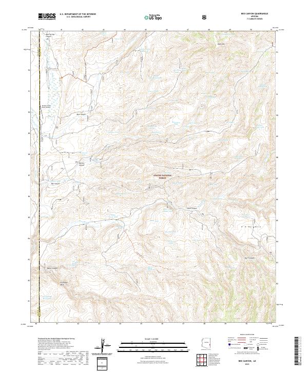
2021 Map of Bee Canyon
USGS Topo · Published 2021About this map
Apache National Forest lands dominate this territory in Greenlee County, where a vast network of water management features highlights the necessity of range improvements in this arid landscape. The map details an extensive system of catchment basins including Bee Springs Tank, Baseline Tank Number 2, and Pine Spring Tank, which are critical for supporting livestock and wildlife away from natural seeps like Simmons Spring.
Find a feature on this map
87 named features on this map. Tap any name to fly to it.
Don’t see what you’re looking for? This feature index may not catch every label — zoom into the map to look around manually.
Map Details
Editions of this 2021 Bee Canyon Map
This is the sole edition of this map. No revisions or reprints were ever made.
Other maps of this area

1902 · Clifton
USGS Topo · 1:62,500

1913 · Morenci
USGS Topo · 1:125,000

1915 · Morenci
USGS Topo · 1:125,000

1954 · Clifton
USGS Topo · 1:250,000

1957 · Clifton
USGS Topo · 1:250,000

1958 · Clifton
USGS Topo · 1:250,000

1962 · Clifton
USGS Topo · 1:250,000

1962 · Clifton
USGS Topo · 1:62,500

1962 · Bryce Mountain
USGS Topo · 1:62,500

1967 · Robinson Mesa
USGS Topo · 1:24,000