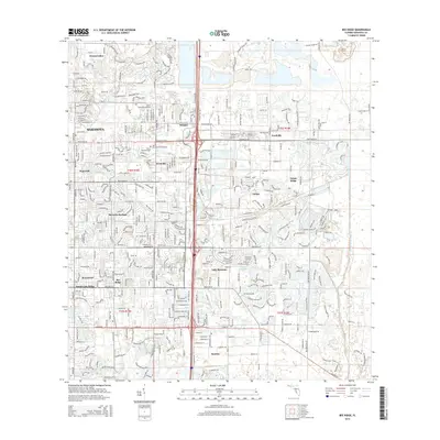
2015 Map of Bee Ridge
USGS Topo · Published 2015About this map
Fruitville and Bee Ridge anchor this detailed study of Sarasota County’s eastern suburban expansion in the mid-2010s. The landscape is defined by its transition from established residential communities like Sarasota Springs and Sunnyland to more contemporary developments such as Lake Sarasota and Sunrise. Extensive water management is evident throughout, from the natural winding of Philippe Cr to the engineered Cow Pen Slough Canal that cuts through the eastern reaches.
Find a feature on this map
30 named features on this map. Tap any name to fly to it.
Don’t see what you’re looking for? This feature index may not catch every label — zoom into the map to look around manually.
Map Details
Editions of this 2015 Bee Ridge Map
This is the sole edition of this map. No revisions or reprints were ever made.
Other maps of this area

1943 · Laurel
USGS Topo · 1:24,000

1944 · Bird Keys
USGS Topo · 1:31,680

1944 · Sarasota
USGS Topo · 1:31,680

1944 · Lower Myakka Lake
USGS Topo · 1:31,680

1944 · Verna
USGS Topo · 1:31,680

1944 · Laurel
USGS Topo · 1:31,680

1944 · Lorraine
USGS Topo · 1:31,680

1944 · Miakka
USGS Topo · 1:31,680

1947 · Bradenton
USGS Topo · 1:24,000

1947 · Bee Ridge
USGS Topo · 1:24,000