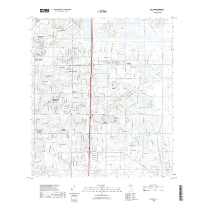
2018 Map of Bee Ridge
USGS Topo · Published 2018About this map
Suburban expansion and planned communities define the eastern Sarasota landscape in the late 2010s. The map captures the dense residential grids of Sarasota Springs and Bee Ridge, contrasting with the distinct layouts of The Meadows and the enclave of Pinecraft. This era shows a significant concentration of master-planned development around Lake Sarasota and Tatum, where the transition from coastal urbanity to inland citrus and cattle heritage is evidenced by the lingering survey lines of T36S and R18E. Notable landmarks include the Palms Memorial Park Gardens and educational institutions like Argosy University-Sarasota. To the east, the drainage engineering of the Cow Pen Slough Canal highlights the region's managed hydrology, which allowed for the conversion of Florida’s wetlands into the modern neighborhoods of Sarasota and South Gate Ridge seen today.
Find a feature on this map
336 named features on this map. Tap any name to fly to it.
Don’t see what you’re looking for? This feature index may not catch every label — zoom into the map to look around manually.
Map Details
Editions of this 2018 Bee Ridge Map
This is the sole edition of this map. No revisions or reprints were ever made.
Other maps of this area

1943 · Laurel
USGS Topo · 1:24,000

1944 · Bird Keys
USGS Topo · 1:31,680

1944 · Sarasota
USGS Topo · 1:31,680

1944 · Lower Myakka Lake
USGS Topo · 1:31,680

1944 · Verna
USGS Topo · 1:31,680

1944 · Laurel
USGS Topo · 1:31,680

1944 · Lorraine
USGS Topo · 1:31,680

1944 · Miakka
USGS Topo · 1:31,680

1947 · Bradenton
USGS Topo · 1:24,000

1947 · Bee Ridge
USGS Topo · 1:24,000