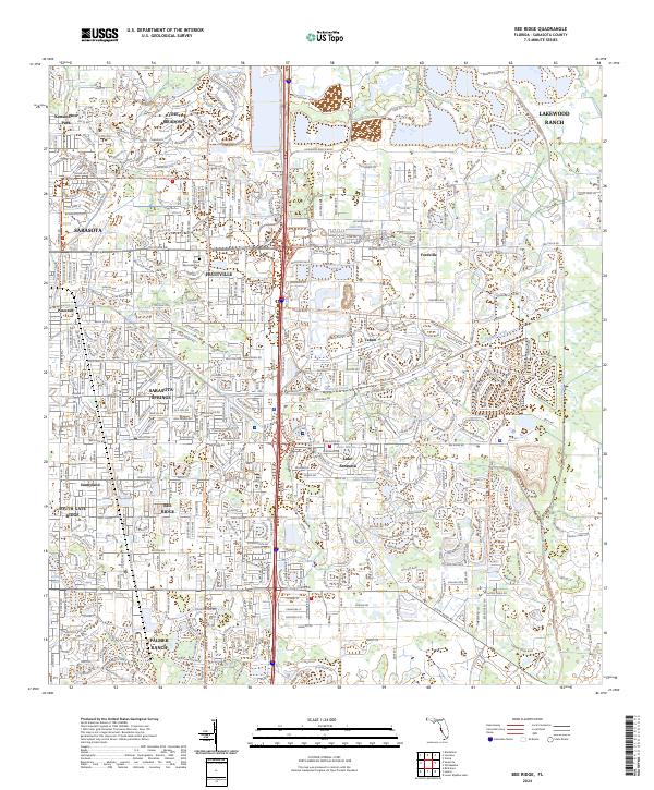
2024 Map of Bee Ridge
USGS Topo · Published 2024About this map
Bee Ridge and the eastern expansion of Sarasota define this modern landscape, where residential development and carefully managed water features characterize the Gulf Coast interior. The geography is marked by a dense network of suburban communities such as The Meadows, Sarasota Springs, and the expansive Lakewood Ranch, all connected by the central artery of I-75. Long-established areas like Fruitville and the Amish and Mennonite community of Pinecraft stand alongside newer planned developments like Palmer Ranch. Hydrographic features, including Phillippe Creek and the Cow Pen Slough Canal, weave through the terrain, punctuated by numerous neighborhood water bodies like Lake Sarasota and Lake Ibis. This survey documents a high degree of land utilization, showing how former agricultural tracts have been systematically integrated into the coastal urban corridor through an intricate grid of local connectors and boulevards.
Find a feature on this map
31 named features on this map. Tap any name to fly to it.
Don’t see what you’re looking for? This feature index may not catch every label — zoom into the map to look around manually.
Map Details
Editions of this 2024 Bee Ridge Map
This is the sole edition of this map. No revisions or reprints were ever made.
Other maps of this area

1943 · Laurel
USGS Topo · 1:24,000

1944 · Bird Keys
USGS Topo · 1:31,680

1944 · Sarasota
USGS Topo · 1:31,680

1944 · Lower Myakka Lake
USGS Topo · 1:31,680

1944 · Verna
USGS Topo · 1:31,680

1944 · Laurel
USGS Topo · 1:31,680

1944 · Lorraine
USGS Topo · 1:31,680

1944 · Miakka
USGS Topo · 1:31,680

1947 · Bradenton
USGS Topo · 1:24,000

1947 · Bee Ridge
USGS Topo · 1:24,000