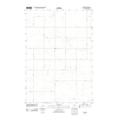
2012 Map of Beebe
USGS Topo · Published 2012About this map
Beebe stands as a quiet focal point in this section of Edmunds County, situated along a straight stretch of Highway 12. The surrounding landscape is defined by the prairie hydrology of the Northern Plains, where the N Fork Snake Cr winds eastward through a grid of section-line roads. This 2012 survey illustrates the enduring agricultural character of the region, where the vast majority of the land is organized into large sections accessed by numbered routes like 350th Ave and 131st St. Towards the southern edge of the sheet, the Cleveland Dam provides a localized water catchment, reflecting the importance of water management in this rural terrain. The map serves as a precise record of the road network and water features that have shaped the rural community for decades.
Find a feature on this map
18 named features on this map. Tap any name to fly to it.
Don’t see what you’re looking for? This feature index may not catch every label — zoom into the map to look around manually.
Map Details
Editions of this 2012 Beebe Map
This is the sole edition of this map. No revisions or reprints were ever made.
Other maps of this area

1954 · Aberdeen
USGS Topo · 1:250,000

1956 · Aberdeen
USGS Topo · 1:250,000
1974 · Ipswich SE
USGS Topo · 1:24,000

1974 · Roscoe
USGS Topo · 1:24,000

1978 · Loyalton
USGS Topo · 1:24,000
1978 · Stafford Dam
USGS Topo · 1:24,000

1978 · Beebe
USGS Topo · 1:24,000
1978 · Ipswich
USGS Topo · 1:24,000

1978 · Hosmer SE
USGS Topo · 1:24,000
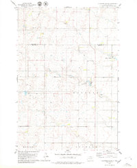
1978 · Plainview Colony
USGS Topo · 1:24,000