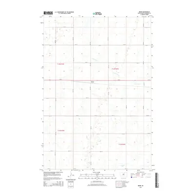
2015 Map of Beebe
USGS Topo · Published 2015About this map
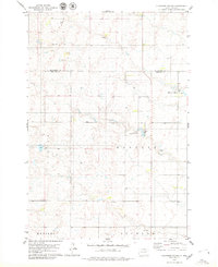
Beebe remains a central point of interest in this section of Edmunds County, situated along the east-west corridor of 134th St. The landscape is defined by the wandering path of the N Fork Snake Cr, which meanders across the prairie, reflecting the hydrology of the Missouri Plateau. Evidence of water management and local infrastructure is visible at the Cleveland Dam in the southern portion of the quadrangle. The grid-based settlement pattern is clearly delineated by a network of section line roads, including 350th Ave and 136th St, which trace the legacy of the Public Land Survey System. This document provides a look at the rural South Dakota landscape in the early 21st century, where agricultural land divisions and natural watercourses remain the dominant features of the terrain.
Find a feature on this map
22 named features on this map. Tap any name to fly to it.
Don’t see what you’re looking for? This feature index may not catch every label — zoom into the map to look around manually.
Map Details
Editions of this 2015 Beebe Map
This is the sole edition of this map. No revisions or reprints were ever made.
Other maps of this area

1954 · Aberdeen
USGS Topo · 1:250,000

1956 · Aberdeen
USGS Topo · 1:250,000
1974 · Ipswich SE
USGS Topo · 1:24,000

1974 · Roscoe
USGS Topo · 1:24,000

1978 · Loyalton
USGS Topo · 1:24,000
1978 · Stafford Dam
USGS Topo · 1:24,000

1978 · Beebe
USGS Topo · 1:24,000
1978 · Ipswich
USGS Topo · 1:24,000

1978 · Hosmer SE
USGS Topo · 1:24,000
1978 · Plainview Colony
USGS Topo · 1:24,000