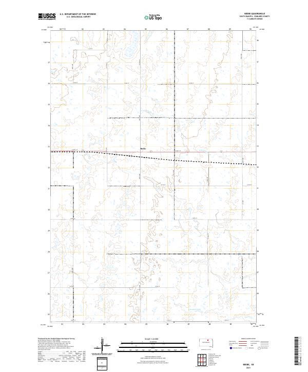
2021 Map of Beebe
USGS Topo · Published 2021About this map
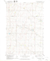
Beebe stands as a small community focal point in this portion of Edmunds County, situated along the east-west corridor of 134th St. The landscape is defined by the prairie hydrology of the Missouri Plateau, where the N Fork Snake Cr meanders through a terrain dotted with numerous small wetlands and glacial depressions. To the south, the Cleveland Dam regulates local water flow, a critical piece of infrastructure for this agricultural region. The map reveals a highly structured section-line road network, including routes like Co Rd 8 and 350th Ave, which partition the land into the large rectangular tracts characteristic of South Dakota's farming and ranching economy. This 2021 survey provides a clear view of the intersection between modern transportation and the natural drainage patterns that have shaped the development of north-central South Dakota.
Find a feature on this map
21 named features on this map. Tap any name to fly to it.
Don’t see what you’re looking for? This feature index may not catch every label — zoom into the map to look around manually.
Map Details
Editions of this 2021 Beebe Map
This is the sole edition of this map. No revisions or reprints were ever made.
Other maps of this area

1954 · Aberdeen
USGS Topo · 1:250,000

1956 · Aberdeen
USGS Topo · 1:250,000
1974 · Ipswich SE
USGS Topo · 1:24,000

1974 · Roscoe
USGS Topo · 1:24,000

1978 · Loyalton
USGS Topo · 1:24,000
1978 · Stafford Dam
USGS Topo · 1:24,000

1978 · Beebe
USGS Topo · 1:24,000
1978 · Ipswich
USGS Topo · 1:24,000

1978 · Hosmer SE
USGS Topo · 1:24,000
1978 · Plainview Colony
USGS Topo · 1:24,000