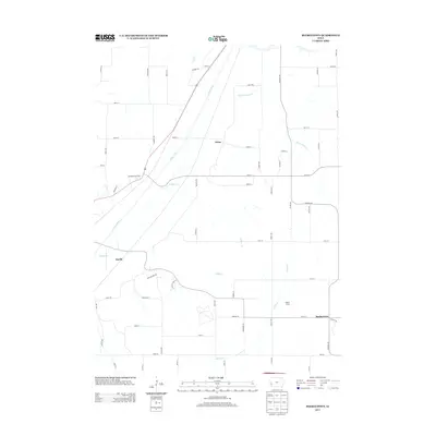
2013 Map of Beebeetown
USGS Topo · Published 2013About this map
Boyer River and its accompanying drainage network define this Harrison County landscape, where the Missouri Valley plateau transitions into the Loess Hills. The small settlements of Beebeetown, Euclid, and Orton are connected by a precise grid of rural routes and the diagonal path of Highway 30. This survey reflects the enduring agricultural character of the region in the early 21st century, showing how modern transportation infrastructure like the Roadside Rest Area interacts with natural landmarks such as Biglers Grove. Numerous small waterways, including Harris Grove Cr, Timber Cr, and Honey Cr, weave between section lines, highlighting the intricate watershed of the Missouri River basin. For those studying local land use or family history, the map provides a clear look at the intersection of established townships and the natural terrain before more recent developments altered the rural fabric.
Find a feature on this map
63 named features on this map. Tap any name to fly to it.
Don’t see what you’re looking for? This feature index may not catch every label — zoom into the map to look around manually.
Map Details
Editions of this 2013 Beebeetown Map
This is the sole edition of this map. No revisions or reprints were ever made.
Other maps of this area

1893 · Omaha
USGS Topo · 1:62,500

1954 · Omaha
USGS Topo · 1:250,000

1956 · Underwood
USGS Topo · 1:24,000

1957 · Omaha
USGS Topo · 1:250,000

1957 · Loveland
USGS Topo · 1:24,000

1957 · Honey Creek
USGS Topo · 1:24,000

1958 · Omaha
USGS Topo · 1:250,000

1970 · Logan
USGS Topo · 1:24,000
1970 · Missouri Valley
USGS Topo · 1:24,000
1970 · Beebeetown
USGS Topo · 1:24,000