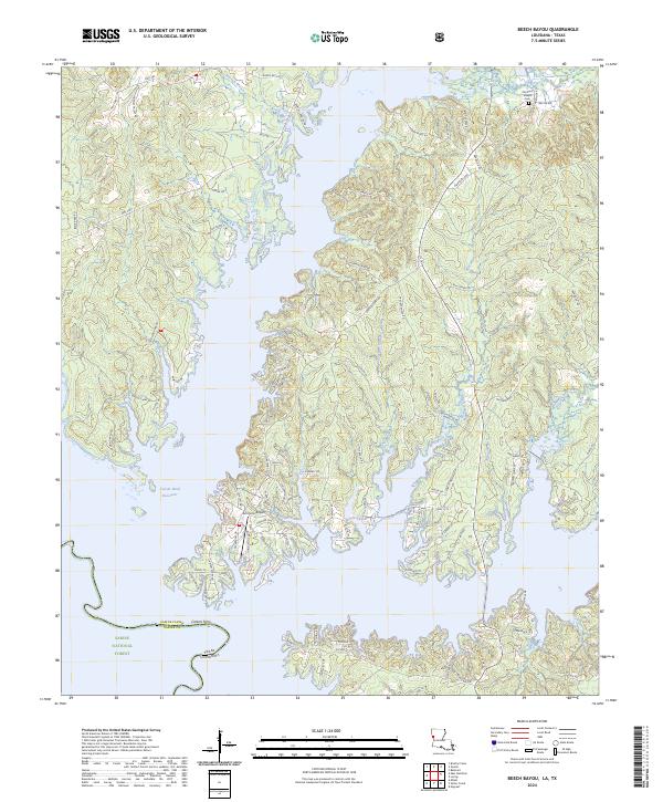
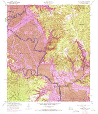
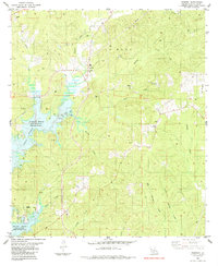
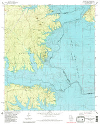
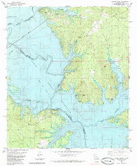
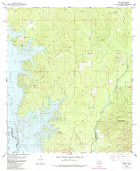
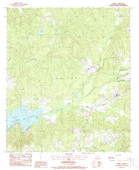
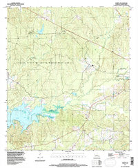
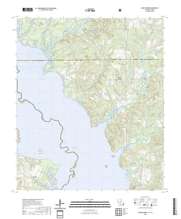
2024 Map of Beech Bayou
USGS Topo · Published 2024This historical map portrays the area of Beech Bayou in 2024, primarily covering Sabine Parish as well as portions of Sabine County and Texas. Featuring a scale of 1:24000, this map provides a highly detailed snapshot of the terrain, roads, buildings, counties, and historical landmarks in the Beech Bayou region at the time. Published in 2024, it is the sole known edition of this map.
Find a feature on this map
101 named features on this map. Tap any name to fly to it.
Don’t see what you’re looking for? This feature index may not catch every label — zoom into the map to look around manually.
Map Details
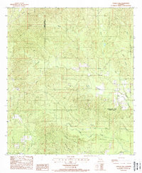
Editions of this 2024 Beech Bayou Map
This is the sole edition of this map. No revisions or reprints were ever made.
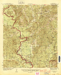
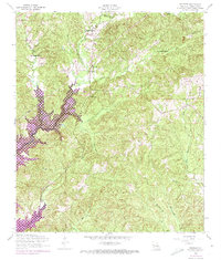
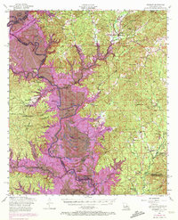
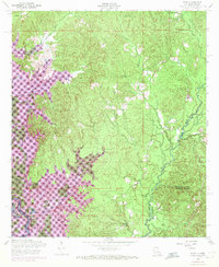
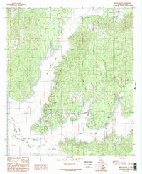
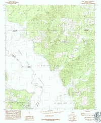
Historical Maps of Zwolle Through Time
27 maps found
1944 Negreet
Sabine Parish, LA
1954 Negreet
Sabine Parish, LA
1954 Negreet
Sabine Parish, LA

1954 Peason
Sabine Parish, LA
1954 Salter Creek
Sabine Parish, LA
1954 Toro
Sabine Parish, LA
1984 Beech Bayou
Sabine Parish, LA
1984 Union Springs
Sabine Parish, LA
1985 Negreet
Sabine Parish, LA
1985 Negreet SW
Sabine Parish, LA
1985 Salter Creek
Sabine Parish, LA
1985 Toro
Sabine Parish, LA
1988 Loring
Sabine Parish, LA
1988 Vowells Mill
Sabine Parish, LA
1994 Loring
Sabine Parish, LA
1998 Peason
Sabine Parish, LA
2003 Beech Bayou
Sabine Parish, LA
2003 Salter Creek
Sabine Parish, LA
2003 Union Springs
Sabine Parish, LA
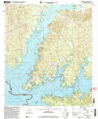
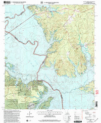
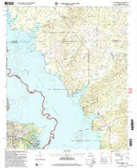
2024 Beech Bayou
Sabine Parish, LA
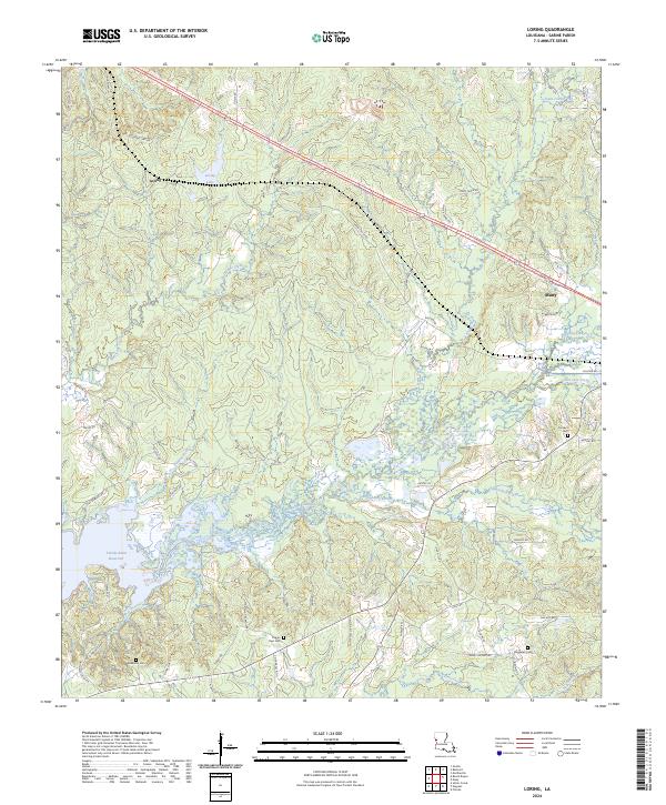
2024 Loring
Sabine Parish, LA
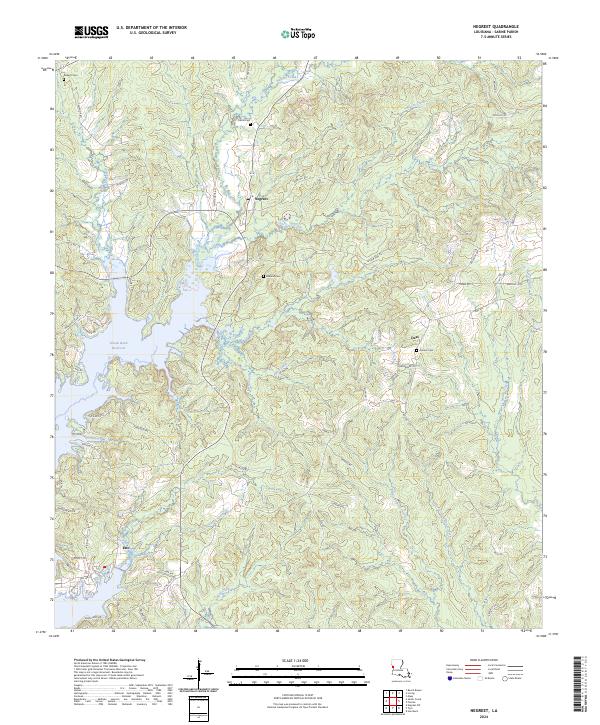
2024 Negreet
Sabine Parish, LA
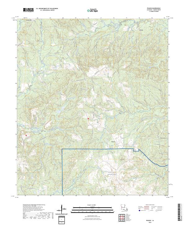
2024 Peason
Sabine Parish, LA
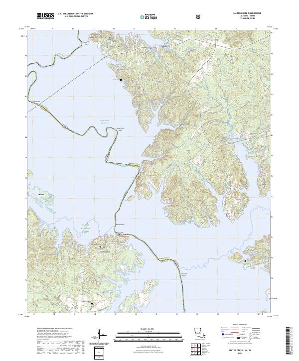
2024 Salter Creek
Sabine Parish, LA
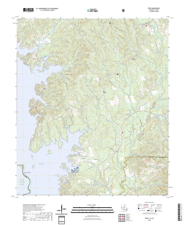
2024 Toro
Sabine Parish, LA
2024 Union Springs
Sabine Parish, LA
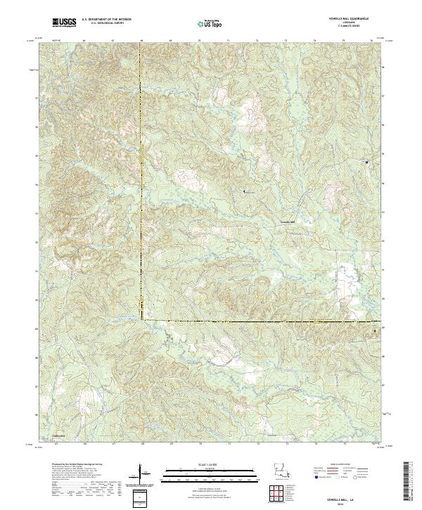
2024 Vowells Mill
Sabine Parish, LA