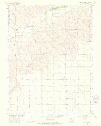
1963 Map of Beecher Island
USGS Topo · Published 1965About this map
Beecher Island stands as a focal point in this 1963 survey of eastern Yuma County, marking the site of a 1868 frontier engagement along the Arikaree River. The map, produced as part of the Department of the Interior program for the development of the Missouri River Basin, documents a high-plains landscape defined by seasonal watercourses like Sand Creek and Jacks Gulch. A Historical Monument is noted near the island, signifying the area's significance to local history. To the south, the flat expanse of Lansing Valley dominates the terrain, featuring the Lansing Valley Cem and the MK Ranch. This era shows the region's ranching character through family-named landmarks like Whombles Meadow and the topographic prominence of Peate Hill, providing a detailed view of the rural infrastructure and land use in this corner of Colorado.
Find a feature on this map
11 named features on this map. Tap any name to fly to it.
Don’t see what you’re looking for? This feature index may not catch every label — zoom into the map to look around manually.
Map Details
Editions of this 1963 Beecher Island Map
3 editions found
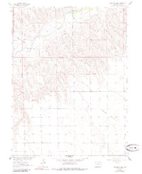
Other maps of this area

1950 · Bonny Reservoir
USGS Topo · 1:62,500

1954 · Limon
USGS Topo · 1:250,000

1957 · Limon
USGS Topo · 1:250,000

1958 · Limon
USGS Topo · 1:250,000

1963 · Vernon
USGS Topo · 1:24,000

1963 · Beecher Island
USGS Topo · 1:24,000
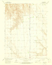
1963 · Armel
USGS Topo · 1:24,000

1963 · Beecher Island NW
USGS Topo · 1:24,000
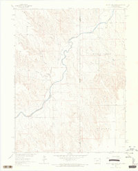
1963 · Willow Creek Ranch
USGS Topo · 1:24,000

1963 · Wildcat Canyon
USGS Topo · 1:24,000