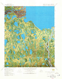
1970 Map of Beechey Point A-2 NE
USGS Topo · Published 1971About this map
Foggy Island Bay dominates the northern reaches of this 1970 orthophotomap, where the Arctic waters meet a complex network of coastal wetlands and braided river channels. The Sagavanirktok River delta is a primary feature, its multiple distributaries carving through the landscape near Foggy Island. This specialized map combines traditional topographic contour lines with aerial imagery, providing a rare look at the surface conditions of the North Slope just as industrial interest in the region was intensifying. A solitary Winter Trail cuts across the frozen terrain in the northwest, indicating the seasonal nature of transport in this environment. The presence of the Elude label among the numerous unnamed lakes and ponds underscores the remote and challenging navigation of this coastal plain, where land and water merge into an intricate mosaic of thaw lakes.
Find a feature on this map
8 named features on this map. Tap any name to fly to it.
Don’t see what you’re looking for? This feature index may not catch every label — zoom into the map to look around manually.
Map Details
Editions of this 1970 Beechey Point A-2 NE Map
2 editions found
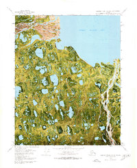
Other maps of this area

1951 · Beechey Point
USGS Topo · 1:250,000

1955 · Beechey Point
USGS Topo · 1:250,000

1955 · Beechey Point B-2
USGS Topo · 1:63,360

1955 · Beechey Point B-1
USGS Topo · 1:63,360

1955 · Beechey Point A-1
USGS Topo · 1:63,360

1955 · Beechey Point A-2
USGS Topo · 1:63,360

1960 · Beechey Point
USGS Topo · 1:250,000
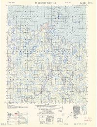
1962 · Beechey Point A-1
USGS Topo · 1:50,000

1962 · Beechey Point B-2
USGS Topo · 1:50,000
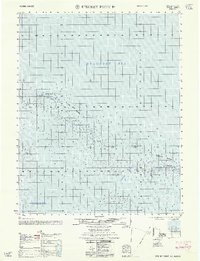
1962 · Beechey Point B-1
USGS Topo · 1:50,000