
1955 Map of Beechey Point A-5
USGS Topo · Published 1968About this map
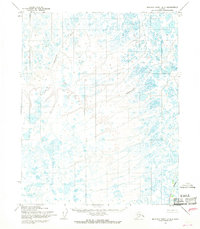
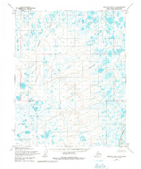
The Kuparuk River flows through this remote arctic landscape of the North Slope, appearing as it did in the mid-1950s when the region was documented primarily through photogrammetric methods. The hydrology of the area is defined by winding coastal plain waterways, including the Ugnuravik River and the Sakonowyak River, which meander through a dense network of tundra lakes and wetlands. These topographic features were mapped by the Army Map Service and published by the U.S. Geological Survey, capturing the drainage patterns of the Umiat Meridian before any significant industrial footprint. The map depicts a wilderness of unsurveyed land lines, reflecting the pre-development character of the Alaskan tundra where travel was restricted to the natural corridors provided by these river systems.
Find a feature on this map
3 named features on this map. Tap any name to fly to it.
Don’t see what you’re looking for? This feature index may not catch every label — zoom into the map to look around manually.
Map Details
Editions of this 1955 Beechey Point A-5 Map
3 editions found
Other maps of this area

1951 · Harrison Bay
USGS Topo · 1:250,000

1951 · Beechey Point
USGS Topo · 1:250,000

1951 · Sagavanirktok D-5
USGS Topo · 1:250,000

1952 · Umiat
USGS Topo · 1:250,000

1955 · Harrison Bay
USGS Topo · 1:250,000

1955 · Beechey Point
USGS Topo · 1:250,000

1955 · Beechey Point B-4
USGS Topo · 1:63,360

1955 · Harrison Bay B-1
USGS Topo · 1:63,360

1955 · Beechey Point A-4
USGS Topo · 1:63,360

1955 · Beechey Point B-5
USGS Topo · 1:63,360