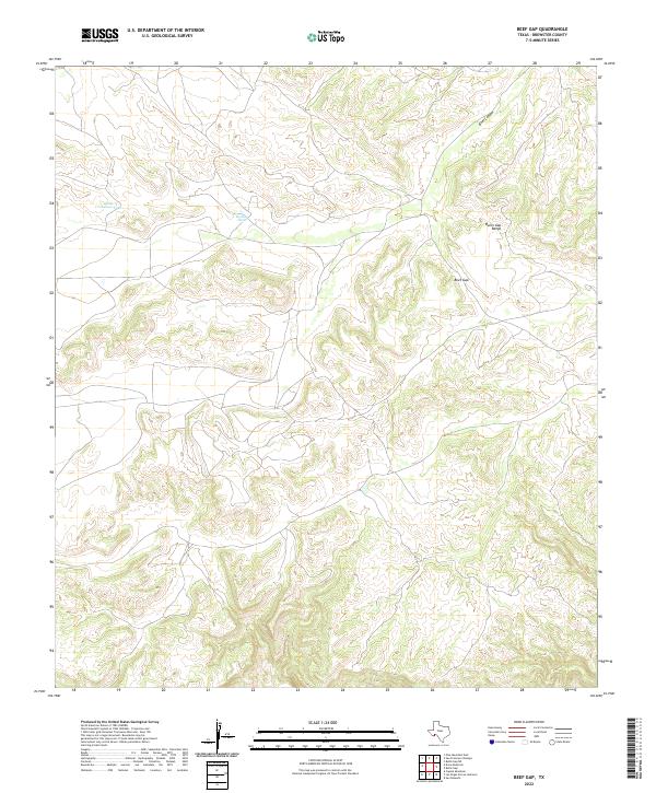
2022 Map of Beef Gap
USGS Topo · Published 2022About this map
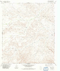
The Bullis Gap Range dominates this portion of Brewster County, where high ridges and deep drainages characterize the Chihuahuan Desert landscape. The terrain is marked by the prominent passage of Beef Gap, a natural break in the mountain profile that has historically influenced movement through this arid region. To the north, Beef Canyon carves through the uplift, while scattered water catchments like Little Crenshaw Tank and Double Tank indicate the vital infrastructure required for ranching and wildlife in such a dry environment. The topography revealed by the U.S. Geological Survey shows a complex network of contours, highlighting the isolated nature of these summits and the practical importance of named water sources and mountain gaps in the Trans-Pecos.
Find a feature on this map
5 named features on this map. Tap any name to fly to it.
Don’t see what you’re looking for? This feature index may not catch every label — zoom into the map to look around manually.
Map Details
Editions of this 2022 Beef Gap Map
This is the sole edition of this map. No revisions or reprints were ever made.
Other maps of this area

1918 · Reagan Canyon
USGS Topo · 1:62,500

1918 · Dove Mountain
USGS Topo · 1:62,500

1918 · Bullis Gap
USGS Topo · 1:62,500

1919 · Maravillas Canyon
USGS Topo · 1:62,500

1959 · Emory Peak
USGS Topo · 1:250,000

1965 · Emory Peak
USGS Topo · 1:250,000
1983 · San Francisco Shutups
USGS Topo · 1:24,000
1983 · Pine Mountain East
USGS Topo · 1:24,000
1983 · Bullis Gap
USGS Topo · 1:24,000
1983 · Beef Gap
USGS Topo · 1:24,000