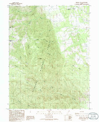
1986 Map of Beehive Peak
USGS Topo · Published 1986About this map
Fishlake National Forest dominates this mid-1980s terrain survey, showcasing the complex topography where the Millard Co Sevier Co line intersects. The landscape is defined by a series of prominent ridges and named canyons, including Nightgown Ridge, Mahogany Ridge, and the branching drainage of Kennedy Fork. High points like Beehive Peak and Willow Creek Peak provide the primary vertical relief, while the eastern portion of the sheet levels into high-altitude clearings such as Ezras Flat and Frogs Flat.
Find a feature on this map
26 named features on this map. Tap any name to fly to it.
Don’t see what you’re looking for? This feature index may not catch every label — zoom into the map to look around manually.
Map Details
Editions of this 1986 Beehive Peak Map
This is the sole edition of this map. No revisions or reprints were ever made.
Other maps of this area

1885 · Manti
USGS Topo · 1:250,000

1885 · Beaver
USGS Topo · 1:250,000

1885 · Sevier Desert
USGS Topo · 1:250,000

1885 · Fish Lake
USGS Topo · 1:250,000

1895 · Manti
USGS Topo · 1:250,000

1896 · Fish Lake
USGS Topo · 1:250,000

1953 · Richfield
USGS Topo · 1:250,000

1953 · Delta
USGS Topo · 1:250,000

1956 · Salina
USGS Topo · 1:250,000

1956 · Price
USGS Topo · 1:250,000