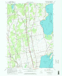
1966 Map of Beekmantown
USGS Topo · Published 1968About this map
The western shores of Lake Champlain define this mid-1960s landscape, where the agricultural interior meets the complex bays of the Clinton County shoreline. The town of Beekmantown and the smaller cluster at Ingraham serve as central points for a network of rural roads, many bearing family names like Patnode Road and Fournier Road. Along the coast, the geography is marked by prominent features such as Point Au Roche and Trombley Bay, while the inland topography is shaped by Stratton Hill and the winding course of the Chazy River.
Find a feature on this map
67 named features on this map. Tap any name to fly to it.
Don’t see what you’re looking for? This feature index may not catch every label — zoom into the map to look around manually.
Map Details
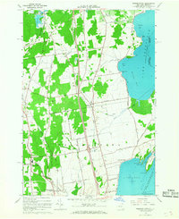
Editions of this 1966 Beekmantown Map
2 editions found
Other maps of this area

1894 · Plattsburg
USGS Topo · 1:62,500

1895 · Mooers
USGS Topo · 1:62,500

1895 · Rouse Point
USGS Topo · 1:62,500

1899 · Mooers
USGS Topo · 1:62,500

1906 · Plattsburg
USGS Topo · 1:62,500

1907 · Rouse Point
USGS Topo · 1:62,500

1913 · Dannemora
USGS Topo · 1:62,500

1939 · Rouses Point
USGS Topo · 1:62,500

1939 · Plattsburg
USGS Topo · 1:62,500

1941 · Plattsburg
USGS Topo · 1:62,500