
1981 Map of Belden SW
USGS Topo · Published 1981About this map
Brookbank and Sikes define the upland terrain of Mountrail County in the early 1980s, where the drainage of the Little Knife River meets a network of smaller coulees. The landscape is primarily organized by section lines and township boundaries, including the southern edge of Osborn. Industrial activity is evident through several extraction sites, including a Quarry and multiple Gravel Pits concentrated near the eastern edge of the map. Local history is anchored at the Bolen Cem in the northeast, while modern infrastructure is represented by a prominent Radio Tower to the south. This area demonstrates the typical North Dakota prairie transition from natural watercourses like Crane Creek and Van Hook Cr to the structured agricultural and extraction economy of the late twentieth century.
Find a feature on this map
18 named features on this map. Tap any name to fly to it.
Don’t see what you’re looking for? This feature index may not catch every label — zoom into the map to look around manually.
Map Details
Editions of this 1981 Belden SW Map
This is the sole edition of this map. No revisions or reprints were ever made.
Other maps of this area

1953 · Williston
USGS Topo · 1:250,000

1953 · Watford City
USGS Topo · 1:250,000

1957 · Williston
USGS Topo · 1:250,000

1957 · Watford City
USGS Topo · 1:250,000

1967 · Watford City
USGS Topo · 1:250,000

1967 · Sanish
USGS Topo · 1:24,000

1981 · Robinson Lake
USGS Topo · 1:24,000

1981 · New Town
USGS Topo · 1:24,000
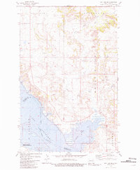
1981 · Rat Lake SE
USGS Topo · 1:24,000
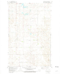
1981 · Belden SE
USGS Topo · 1:24,000