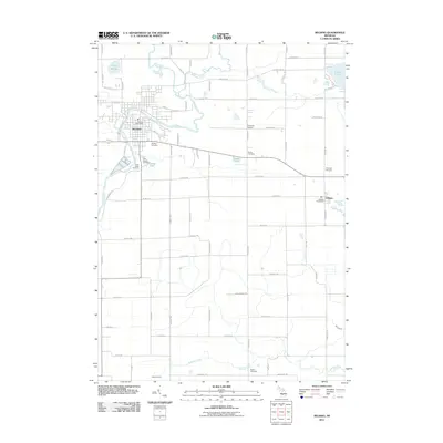
2011 Map of Belding
USGS Topo · Published 2011About this map
The Flat River winds through the heart of Belding, providing a central axis for this Ionia County community as it appeared in the early 21st century. The town's civic structure is anchored by the Belding Post Office and several historic burial grounds, including Belding Cemetery, River Ridge Cemetery, and Saint Joseph Cemetery. To the east and south, the landscape transitions into a grid of rural roads and scattered settlements like Orleans and Chadwick Corners.
Find a feature on this map
75 named features on this map. Tap any name to fly to it.
Don’t see what you’re looking for? This feature index may not catch every label — zoom into the map to look around manually.
Map Details
Editions of this 2011 Belding Map
This is the sole edition of this map. No revisions or reprints were ever made.
Other maps of this area

1916 · Ionia
USGS Topo · 1:62,500

1918 · Ionia
USGS Topo · 1:62,500

1918 · Lowell
USGS Topo · 1:62,500

1943 · Ionia
USGS Topo · 1:62,500

1943 · Lowell
USGS Topo · 1:62,500

1954 · Midland
USGS Topo · 1:250,000

1958 · Midland
USGS Topo · 1:250,000

1958 · Grand Rapids
USGS Topo · 1:250,000

1959 · Midland
USGS Topo · 1:250,000

1961 · Grand Rapids
USGS Topo · 1:250,000