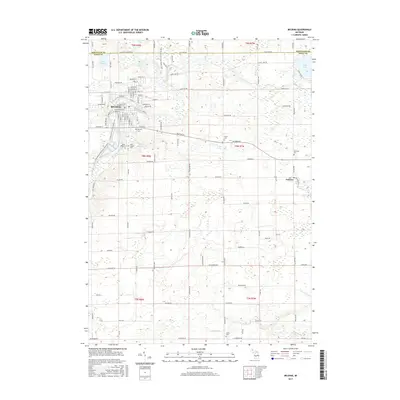
2017 Map of Belding
USGS Topo · Published 2017About this map
The Flat River winds through the industrial and residential core of Belding, a city positioned on the border of Montcalm and Ionia counties. This landscape is defined by its transition from a concentrated urban center to the surrounding agricultural plains of the Michigan interior. Key historical markers include a high concentration of burial grounds such as Belding Cem, River Ridge Cem, and Saint Joseph Cem, which serve as vital points of interest for genealogical research in this region.
Find a feature on this map
104 named features on this map. Tap any name to fly to it.
Don’t see what you’re looking for? This feature index may not catch every label — zoom into the map to look around manually.
Map Details
Editions of this 2017 Belding Map
This is the sole edition of this map. No revisions or reprints were ever made.
Other maps of this area

1916 · Ionia
USGS Topo · 1:62,500

1918 · Ionia
USGS Topo · 1:62,500

1918 · Lowell
USGS Topo · 1:62,500

1943 · Ionia
USGS Topo · 1:62,500

1943 · Lowell
USGS Topo · 1:62,500

1954 · Midland
USGS Topo · 1:250,000

1958 · Midland
USGS Topo · 1:250,000

1958 · Grand Rapids
USGS Topo · 1:250,000

1959 · Midland
USGS Topo · 1:250,000

1961 · Grand Rapids
USGS Topo · 1:250,000