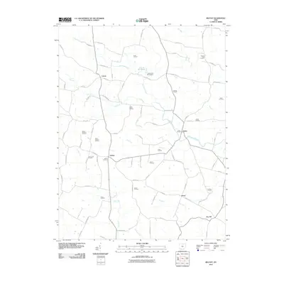
2010 Map of Belfast
USGS Topo · Published 2010About this map
Ohio Brush Creek and its many tributaries, including Lost Fork and Rock Lick, define the drainage patterns of this Highland County landscape. This rural area is anchored by the small settlements of Belfast, Fairfax, and Folsom, where life revolves around a network of township and county roads. Genealogists will find a remarkably dense concentration of family and community burial grounds, such as Walker Number 1 Cemetery, Storer Cemetery, and Frazer Cemetery, reflecting generations of local residency. The landscape includes the Lake of the Woods and its associated Lake of the Woods Dam on a branch of the main creek. While mostly agricultural and residential, the map captures the quiet infrastructure of rural Ohio, from the crossroads at Jessup and May Hill to the winding course of Flat Run in the southeast.
Find a feature on this map
84 named features on this map. Tap any name to fly to it.
Don’t see what you’re looking for? This feature index may not catch every label — zoom into the map to look around manually.
Map Details
Editions of this 2010 Belfast Map
This is the sole edition of this map. No revisions or reprints were ever made.
Other maps of this area

1915 · Bainbridge
USGS Topo · 1:48,000

1916 · Peebles
USGS Topo · 1:62,500

1917 · Bainbridge
USGS Topo · 1:62,500

1917 · Hillsboro
USGS Topo · 1:62,500

1918 · Peebles
USGS Topo · 1:62,500

1918 · Seaman
USGS Topo · 1:62,500

1944 · Hillsboro
USGS Topo · 1:62,500

1947 · Columbus
USGS Topo · 1:250,000

1957 · Huntington
USGS Topo · 1:250,000

1960 · Huntington
USGS Topo · 1:250,000