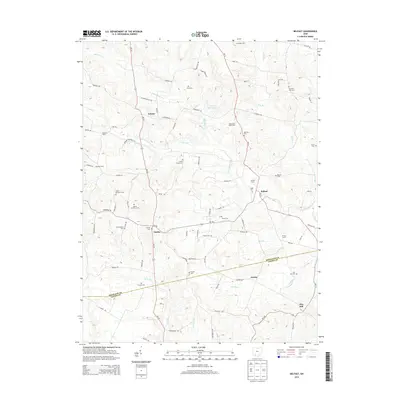
2013 Map of Belfast
USGS Topo · Published 2013About this map
The boundary between Highland and Adams counties bisects this rural landscape, which is defined by the winding course of Ohio Brush Creek and its many tributaries. Settlement is concentrated along the state highway corridors, particularly at the crossroads of Belfast and Fairfax. The map is notably dense with family and community cemeteries, including the Walker Number 1 and Walker Number 2 cemeteries, which suggest a deep history of local farmstead burial sites. Named farms like Schweiger Farm and Diamond B Mule Farm are distributed across the hills, while the Lake of the Woods reservoir provides a central water feature. To the south, the terrain descends toward Jessup and May Hill, where small drainage basins like Flat Run and Buck Run carve through the agricultural land.
Find a feature on this map
92 named features on this map. Tap any name to fly to it.
Don’t see what you’re looking for? This feature index may not catch every label — zoom into the map to look around manually.
Map Details
Editions of this 2013 Belfast Map
This is the sole edition of this map. No revisions or reprints were ever made.
Other maps of this area

1915 · Bainbridge
USGS Topo · 1:48,000

1916 · Peebles
USGS Topo · 1:62,500

1917 · Bainbridge
USGS Topo · 1:62,500

1917 · Hillsboro
USGS Topo · 1:62,500

1918 · Peebles
USGS Topo · 1:62,500

1918 · Seaman
USGS Topo · 1:62,500

1944 · Hillsboro
USGS Topo · 1:62,500

1947 · Columbus
USGS Topo · 1:250,000

1957 · Huntington
USGS Topo · 1:250,000

1960 · Huntington
USGS Topo · 1:250,000