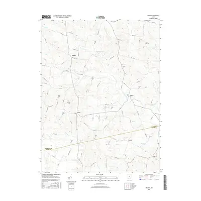
2016 Map of Belfast
USGS Topo · Published 2016About this map
Belfast and the surrounding rural landscape of Highland Co and Adams Co are defined by the winding course of Ohio Brush Cr and its many tributaries. This area, largely comprised of small agricultural settlements like Fairfax, Folsom, and Berrysville, maintains a dense network of family and community cemeteries that speak to generations of local history. The land is dissected by numerous runs and forks, including Lost Fork and Flat Run, which have influenced the placement of roads and farmsteads.
Find a feature on this map
94 named features on this map. Tap any name to fly to it.
Don’t see what you’re looking for? This feature index may not catch every label — zoom into the map to look around manually.
Map Details
Editions of this 2016 Belfast Map
This is the sole edition of this map. No revisions or reprints were ever made.
Other maps of this area

1915 · Bainbridge
USGS Topo · 1:48,000

1916 · Peebles
USGS Topo · 1:62,500

1917 · Bainbridge
USGS Topo · 1:62,500

1917 · Hillsboro
USGS Topo · 1:62,500

1918 · Peebles
USGS Topo · 1:62,500

1918 · Seaman
USGS Topo · 1:62,500

1944 · Hillsboro
USGS Topo · 1:62,500

1947 · Columbus
USGS Topo · 1:250,000

1957 · Huntington
USGS Topo · 1:250,000

1960 · Huntington
USGS Topo · 1:250,000