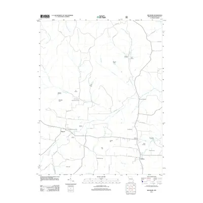
2011 Map of Belgrade
USGS Topo · Published 2011About this map
The Big River and its numerous tributaries, including Clear Creek and Flat Creek, define the landscape of eastern Missouri as it appeared in the early 21st century. This area of Washington County is centered on the established settlements of Belgrade and Caledonia, where the map reveals a high concentration of family-named landmarks and historical infrastructure. Notable sites for genealogical research include the Bennett Bryan Cemetery, Jane Bryan Cemetery, and Caledonia Cemetery, alongside early industrial remnants like the Bryan Gristmill.
Find a feature on this map
56 named features on this map. Tap any name to fly to it.
Don’t see what you’re looking for? This feature index may not catch every label — zoom into the map to look around manually.
Map Details
Editions of this 2011 Belgrade Map
This is the sole edition of this map. No revisions or reprints were ever made.
Other maps of this area

1905 · Bonneterre
USGS Topo · 1:62,500

1906 · Potosi
USGS Topo · 1:62,500

1924 · Edgehill
USGS Topo · 1:62,500

1926 · Edgehill
USGS Topo · 1:62,500

1937 · Ironton
USGS Topo · 1:48,000

1945 · Ironton
USGS Topo · 1:62,500

1946 · Ironton
USGS Topo · 1:62,500

1949 · Rolla
USGS Topo · 1:250,000

1953 · Ironton
USGS Topo · 1:62,500

1953 · Rolla
USGS Topo · 1:250,000