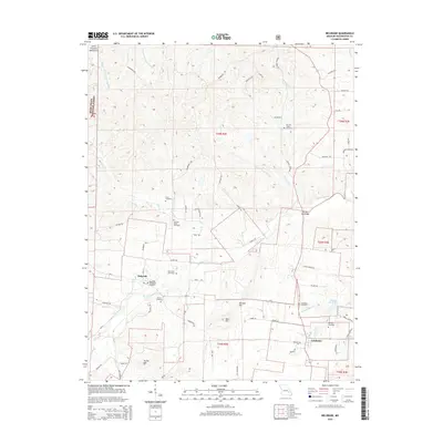
2015 Map of Belgrade
USGS Topo · Published 2015About this map
The Big River winds through this section of the Saint Francois Mountains, defining the landscape around the settlements of Belgrade and Caledonia. This area of Washington County is notable for its dense concentration of family and community burial grounds, including the Jane Bryan Cemetery, Bennett Bryan Cemetery, Davis Cemetery, and Carson Cemetery. These sites, along with the Belgrade Methodist Cemetery and Caledonia Cemetery, provide significant geographic markers for genealogical research in this part of Missouri.
Find a feature on this map
76 named features on this map. Tap any name to fly to it.
Don’t see what you’re looking for? This feature index may not catch every label — zoom into the map to look around manually.
Map Details
Editions of this 2015 Belgrade Map
This is the sole edition of this map. No revisions or reprints were ever made.
Other maps of this area

1905 · Bonneterre
USGS Topo · 1:62,500

1906 · Potosi
USGS Topo · 1:62,500

1924 · Edgehill
USGS Topo · 1:62,500

1926 · Edgehill
USGS Topo · 1:62,500

1937 · Ironton
USGS Topo · 1:48,000

1945 · Ironton
USGS Topo · 1:62,500

1946 · Ironton
USGS Topo · 1:62,500

1949 · Rolla
USGS Topo · 1:250,000

1953 · Ironton
USGS Topo · 1:62,500

1953 · Rolla
USGS Topo · 1:250,000