
1916 Map of Belhaven
USGS Topo · Published 1916About this map
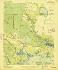
Belhaven and Pantego anchor this coastal survey, where the intricate hydrology of the Pungo River and Pantego Swamp meets the rail-driven commerce of the early twentieth century. The Norfolk Southern railroad cuts through the western landscape, supporting timber and agricultural outposts like Wenona, Sixteenmile Siding, and Pike Road. Further inland, the map captures a highly managed water system featuring the Pungo Lake Canal, Intercepting Canal, and North DITCH, reflecting significant early drainage efforts within the East Dismal Swamp.
Find a feature on this map
83 named features on this map. Tap any name to fly to it.
Don’t see what you’re looking for? This feature index may not catch every label — zoom into the map to look around manually.
Map Details
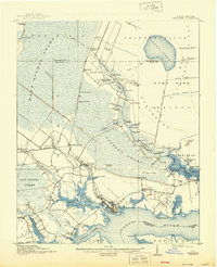
Editions of this 1916 Belhaven Map
3 editions found
Other maps of this area

1914 · Belhaven
USGS Topo · 1:48,000

1943 · Columbia
USGS Topo · 1:125,000

1943 · Plymouth
USGS Topo · 1:125,000

1950 · Pinetown
USGS Topo · 1:24,000

1951 · Bath
USGS Topo · 1:24,000

1951 · Ransomville
USGS Topo · 1:24,000

1951 · Pamlico Beach
USGS Topo · 1:24,000

1951 · Belhaven
USGS Topo · 1:24,000

1951 · Pantego
USGS Topo · 1:24,000

1951 · Scranton
USGS Topo · 1:24,000