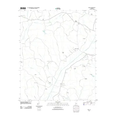
2011 Map of Belk
USGS Topo · Published 2011About this map
Luxapallila Creek and its many tributaries, such as Wiggins Creek and Estes Creek, carve a detailed drainage pattern across this portion of Fayette County. The landscape is defined by a dense network of local cemeteries, including Mount Vernon Cemetery, Rocky Mount Cemetery, and Sudduth Cemetery, which serve as vital markers for genealogical research in this rural Alabama region. The town of Belk serves as a central hub, anchored by the Belk Post Office, while the surrounding area shows the footprint of energy extraction at the Southwest Fayette Gas Field.
Find a feature on this map
89 named features on this map. Tap any name to fly to it.
Don’t see what you’re looking for? This feature index may not catch every label — zoom into the map to look around manually.
Map Details
Editions of this 2011 Belk Map
This is the sole edition of this map. No revisions or reprints were ever made.
Other maps of this area

1953 · Birmingham
USGS Topo · 1:250,000

1953 · West Point
USGS Topo · 1:250,000

1956 · Birmingham
USGS Topo · 1:250,000

1957 · Birmingham
USGS Topo · 1:250,000

1958 · West Point
USGS Topo · 1:250,000

1963 · West Point
USGS Topo · 1:250,000

1967 · Winfield SE
USGS Topo · 1:24,000

1967 · Newtonville
USGS Topo · 1:24,000

1967 · Hightogy
USGS Topo · 1:24,000

1967 · Kennedy
USGS Topo · 1:24,000