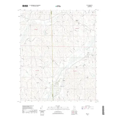
2018 Map of Belk
USGS Topo · Published 2018About this map
Luxapallila Creek and its many tributaries, including Hells Cr and Wiggins Cr, define the drainage of this West Alabama landscape. The topography is marked by significant family and community heritage, evidenced by the high density of small cemeteries such as Wesleys Chapel Cem, Bethabra Cem, and Rowland Cem. These burial grounds are often situated near the small hubs of Belk, Covin, and Mount Vernon, which remain connected by a network of rural routes like Cody Rd and Harmony Rd.
Find a feature on this map
90 named features on this map. Tap any name to fly to it.
Don’t see what you’re looking for? This feature index may not catch every label — zoom into the map to look around manually.
Map Details
Editions of this 2018 Belk Map
This is the sole edition of this map. No revisions or reprints were ever made.
Other maps of this area

1953 · Birmingham
USGS Topo · 1:250,000

1953 · West Point
USGS Topo · 1:250,000

1956 · Birmingham
USGS Topo · 1:250,000

1957 · Birmingham
USGS Topo · 1:250,000

1958 · West Point
USGS Topo · 1:250,000

1963 · West Point
USGS Topo · 1:250,000

1967 · Winfield SE
USGS Topo · 1:24,000

1967 · Newtonville
USGS Topo · 1:24,000

1967 · Hightogy
USGS Topo · 1:24,000

1967 · Kennedy
USGS Topo · 1:24,000