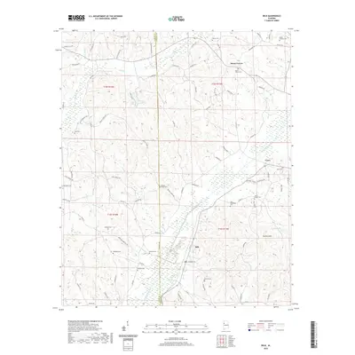
2020 Map of Belk
USGS Topo · Published 2020About this map
Belk and the surrounding reaches of Luxapalila Creek define this rural landscape on the border of Lamar and Fayette counties. The topography is dominated by the ridges of Scareum Mtn and a dense network of watercourses including Hells Cr, Beaver Cr, and Wiggins Cr. This agricultural and wooded region is marked by an exceptional concentration of family and community burial grounds, such as Wesleys Chapel Cem, Mount Vernon Cem, and Sudduth Cem, which offer significant value for genealogical research in this part of Alabama. The settlement at Covin sits in the northeast, while the road network of Bobo Dr and Fowler Loop weaves through the rolling terrain, connecting small homesteads and local landmarks like Hopson Lake and Baptist Lake.
Find a feature on this map
91 named features on this map. Tap any name to fly to it.
Don’t see what you’re looking for? This feature index may not catch every label — zoom into the map to look around manually.
Map Details
Editions of this 2020 Belk Map
This is the sole edition of this map. No revisions or reprints were ever made.
Other maps of this area

1953 · Birmingham
USGS Topo · 1:250,000

1953 · West Point
USGS Topo · 1:250,000

1956 · Birmingham
USGS Topo · 1:250,000

1957 · Birmingham
USGS Topo · 1:250,000

1958 · West Point
USGS Topo · 1:250,000

1963 · West Point
USGS Topo · 1:250,000

1967 · Winfield SE
USGS Topo · 1:24,000

1967 · Newtonville
USGS Topo · 1:24,000

1967 · Hightogy
USGS Topo · 1:24,000

1967 · Kennedy
USGS Topo · 1:24,000