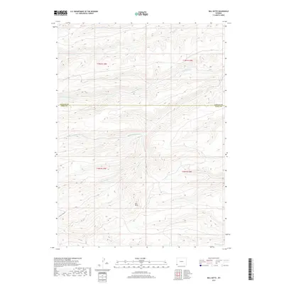
2017 Map of Bell Butte
USGS Topo · Published 2017About this map
The Bell Butte landform dominates this portion of the high plains along the Lincoln Co Uinta Co line. The landscape is defined by an intricate network of drainages feeding into the Sheep Creek system, including its North Fork, South Fork, and Middle Fork. This high-altitude drainage pattern is central to the area's geography, with various tributaries like Carter Creek and Hill Creek carving through the terrain. Civil infrastructure is sparse, represented primarily by Carter Creek Road crossing the southwestern quadrant. This 2017 survey by the U.S. Geological Survey reflects the open, undeveloped character of the Wyoming-Utah border region, where public land management and water resource geography take precedence over urban settlement.
Find a feature on this map
16 named features on this map. Tap any name to fly to it.
Don’t see what you’re looking for? This feature index may not catch every label — zoom into the map to look around manually.
Map Details
Editions of this 2017 Bell Butte Map
This is the sole edition of this map. No revisions or reprints were ever made.
Other maps of this area

1954 · Ogden
USGS Topo · 1:250,000

1958 · Ogden
USGS Topo · 1:250,000

1960 · Ogden
USGS Topo · 1:250,000

1962 · Bell Butte NE
USGS Topo · 1:24,000

1962 · Sawtooth Mountain
USGS Topo · 1:24,000

1962 · Elkol SW
USGS Topo · 1:24,000

1962 · Windy Point
USGS Topo · 1:24,000

1962 · Warfield Creek
USGS Topo · 1:24,000

1962 · Bell Butte
USGS Topo · 1:24,000

1965 · Little Dee Creek
USGS Topo · 1:24,000