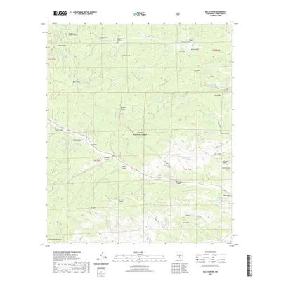
2020 Map of Bell Canyon
USGS Topo · Published 2020About this map
Lincoln National Forest land defines this section of the Sacramento Mountains, where a complex network of canyons drains the high country. For family historians, the Sixteen Springs Canyon Cem provides a localized point of interest within the broader Sixteen Springs Canyon drainage. The map documents a landscape defined by seasonal water sources and livestock management, indicated by numerous named tanks and springs such as Graveyard Tank, McNatt Spring, and Lower Dew Tank. Cultural markers are sparse but significant, including the Old Mayhill L.O. and old road routes like Three Mile Canyon and Dollins Can. The naming of features like James Canyon, Carr Canyon, and Walker Canyon suggest the historic footprint of early ranching families who navigated this deeply dissected terrain.
Find a feature on this map
64 named features on this map. Tap any name to fly to it.
Don’t see what you’re looking for? This feature index may not catch every label — zoom into the map to look around manually.
Map Details
Editions of this 2020 Bell Canyon Map
This is the sole edition of this map. No revisions or reprints were ever made.
Other maps of this area

1952 · Cloudcroft
USGS Topo · 1:62,500

1954 · Carlsbad
USGS Topo · 1:250,000

1955 · Roswell
USGS Topo · 1:250,000

1958 · Carlsbad
USGS Topo · 1:250,000

1958 · Roswell
USGS Topo · 1:250,000

1962 · Roswell
USGS Topo · 1:250,000

1963 · Mayhill
USGS Topo · 1:24,000

1963 · Turkey Peak
USGS Topo · 1:24,000

1963 · Woodson Canyon
USGS Topo · 1:24,000

1963 · Firman Canyon
USGS Topo · 1:24,000