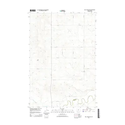
2014 Map of Bell Coulee East
USGS Topo · Published 2014About this map
The Cannonball River meanders across the southern portion of this landscape, marking the boundary between Grant and Sioux counties. This rural expanse is defined by the drainage of Bell Coulee and the uniquely named Leaf on the Hill Cr, which feeds into the larger river system from the south. The terrain is sparsely developed, centered around a grid of section line roads like ND-31 and 86th St SW that serve the outlying prairie. A small point of genealogical interest, Saint Gabriel Cem, sits along 43rd Ave SW, providing a specific landmark for local history researchers in this part of the Porcupine District. The map captures the intersection of high plains topography and the systematic road network that defines North Dakota's agricultural interior.
Find a feature on this map
18 named features on this map. Tap any name to fly to it.
Don’t see what you’re looking for? This feature index may not catch every label — zoom into the map to look around manually.
Map Details
Editions of this 2014 Bell Coulee East Map
This is the sole edition of this map. No revisions or reprints were ever made.
Other maps of this area

1954 · Bismarck
USGS Topo · 1:250,000

1958 · Bismarck
USGS Topo · 1:250,000

1971 · Lookout Butte
USGS Topo · 1:24,000

1971 · Shields SW
USGS Topo · 1:24,000

1971 · Shields
USGS Topo · 1:24,000

1971 · Lookout Butte SE
USGS Topo · 1:24,000

1980 · Brisbane
USGS Topo · 1:24,000

1980 · Bell Coulee West
USGS Topo · 1:24,000

1980 · Freda
USGS Topo · 1:24,000

1980 · Bell Coulee East
USGS Topo · 1:24,000