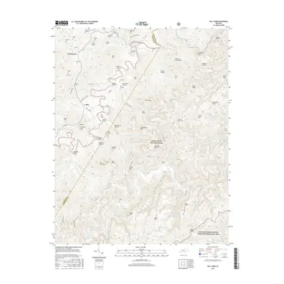
2016 Map of Bell Farm
USGS Topo · Published 2016About this map
Rockybranch and the surrounding highlands of Wayne County are defined by a complex network of hollows and ridges within the Daniel Boone National Forest. The landscape is a map of family heritage, with numerous burial sites such as the Carl Kidd Graveyard, Denny Farm Cem, and Rigney-Gregory Cem marking the legacy of early settlers in the Cumberland Plateau region. These small cemeteries are often situated near the heads of drainages like Dobbs Hollow and Huckleberry Hollow, illustrating a settlement pattern closely tied to the difficult terrain.
Find a feature on this map
96 named features on this map. Tap any name to fly to it.
Don’t see what you’re looking for? This feature index may not catch every label — zoom into the map to look around manually.
Map Details
Editions of this 2016 Bell Farm Map
This is the sole edition of this map. No revisions or reprints were ever made.
Other maps of this area

1911 · Monticello
USGS Topo · 1:62,500

1914 · Monticello
USGS Topo · 1:62,500

1932 · Burnside
USGS Topo · 1:62,500

1934 · Barthell
USGS Topo · 1:62,500

1934 · Pall Mall
USGS Topo · 1:62,500

1953 · Monticello
USGS Topo · 1:24,000

1954 · Parmleysville
USGS Topo · 1:24,000

1954 · Coopersville
USGS Topo · 1:24,000
1954 · Nevelsville
USGS Topo · 1:24,000
1954 · Barthell
USGS Topo · 1:24,000