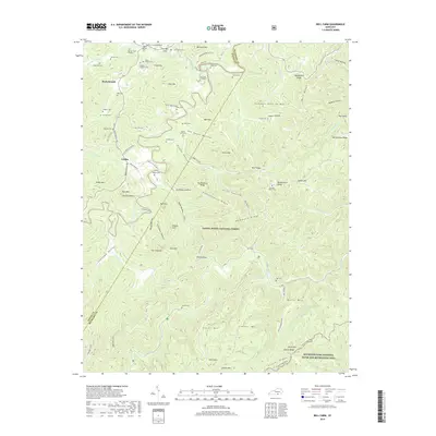
2019 Map of Bell Farm
USGS Topo · Published 2019About this map
Rockybranch and the surrounding hollows of Wayne Co and McCreary Co are defined by a complex geography of ridges and steep cliffs within the Daniel Boone National Forest. The landscape is dotted with family-named burial sites, including the David L Crownshed Grave and the Carl Kidd Graveyard, reflecting deep ancestral ties to these secluded valleys. Waterways like the Little South Fork and Rock Cr carve through the terrain, passing landmarks such as The Chimney, The Pilot, and Middle Cliff. This 2019 survey shows the modern footprint of settlements like Griffin and Bell Farm, where narrow roads like Steele Hollow Rd and Parmleyville Rd follow the natural contours of the Cumberland Plateau. The southern portion of the map includes part of the Big South Fork National River and Recreation Area, preserving the character of the river-cut gorges.
Find a feature on this map
103 named features on this map. Tap any name to fly to it.
Don’t see what you’re looking for? This feature index may not catch every label — zoom into the map to look around manually.
Map Details
Editions of this 2019 Bell Farm Map
This is the sole edition of this map. No revisions or reprints were ever made.
Other maps of this area

1911 · Monticello
USGS Topo · 1:62,500

1914 · Monticello
USGS Topo · 1:62,500

1932 · Burnside
USGS Topo · 1:62,500

1934 · Barthell
USGS Topo · 1:62,500

1934 · Pall Mall
USGS Topo · 1:62,500

1953 · Monticello
USGS Topo · 1:24,000

1954 · Parmleysville
USGS Topo · 1:24,000

1954 · Coopersville
USGS Topo · 1:24,000
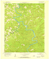
1954 · Nevelsville
USGS Topo · 1:24,000
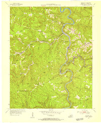
1954 · Barthell
USGS Topo · 1:24,000