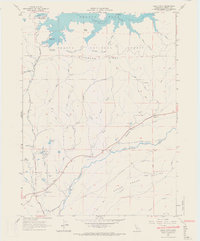
1965 Map of Bella Vista
USGS Topo · Published 1966About this map
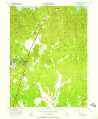
Shasta Lake and the Pit River dominate the northern landscape of this mid-1960s survey, showing the reservoir at its Spillway Elevation 1065. The transition from the high waters of the north down to the alluvial floor of the south is marked by Backbone Ridge and the winding course of Little Cow Creek. The settlement of Bella Vista serves as a focal point near the southern border, where the terrain levels out into the Swede Plains.
Find a feature on this map
45 named features on this map. Tap any name to fly to it.
Don’t see what you’re looking for? This feature index may not catch every label — zoom into the map to look around manually.
Map Details
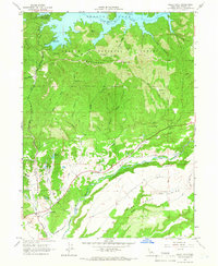
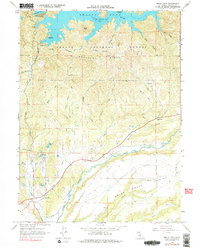
Editions of this 1965 Bella Vista Map
3 editions found
Other maps of this area

1890 · Red Bluff
USGS Topo · 1:250,000

1894 · Red Bluff
USGS Topo · 1:250,000

1901 · Redding
USGS Topo · 1:125,000

1944 · Redding
USGS Topo · 1:62,500

1946 · Lamoine
USGS Topo · 1:62,500

1946 · Redding
USGS Topo · 1:62,500

1949 · Bollibokka Mtn
USGS Topo · 1:62,500

1953 · Millville
USGS Topo · 1:62,500
1957 · Enterprise
USGS Topo · 1:24,000
1957 · Project City
USGS Topo · 1:24,000