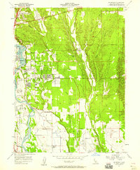
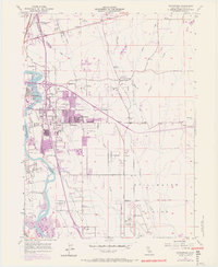
1957 Map of Enterprise
USGS Topo · Published 1958About this map
The Sacramento River carves the western edge of this landscape, marking the transition from the city of Redding to the agricultural and developing lands of the Stillwater Plains. This mid-century survey illustrates a period of significant local expansion, centered on the community of Enterprise. Institutional growth is evident through the placement of Enterprise High Sch, Shasta Meadows Sch, and Columbia Sch.
Find a feature on this map
28 named features on this map. Tap any name to fly to it.
Don’t see what you’re looking for? This feature index may not catch every label — zoom into the map to look around manually.
Map Details
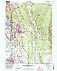
Editions of this 1957 Enterprise Map
6 editions found
Other maps of this area

1890 · Red Bluff
USGS Topo · 1:250,000

1894 · Red Bluff
USGS Topo · 1:250,000

1901 · Redding
USGS Topo · 1:125,000

1932 · Olinda
USGS Topo · 1:31,680

1935 · Olinda
USGS Topo · 1:31,680

1944 · Redding
USGS Topo · 1:62,500

1944 · Tuscan Buttes
USGS Topo · 1:62,500

1946 · Redding
USGS Topo · 1:62,500

1947 · Tuscan Buttes
USGS Topo · 1:62,500

1947 · Anderson
USGS Topo · 1:62,500