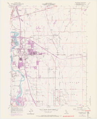
1957 Map of Enterprise
USGS Topo · Published 1970About this map
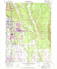
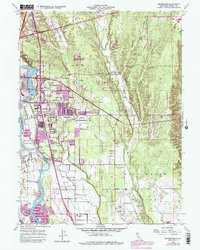
The Sacramento River flows along the western edge of this landscape, marking a sharp boundary between the established city of Redding and the expanding suburbs of Enterprise. This mid-century survey document captures a period of significant growth, with purple-tinted areas illustrating the rapid residential and educational development east of the river. The map is densely populated with neighborhood institutions, from Enterprise High Sch to numerous primary schools like Mistletoe Sch and Alta Mesa Sch, reflecting the postwar family boom in Shasta County.
Find a feature on this map
46 named features on this map. Tap any name to fly to it.
Don’t see what you’re looking for? This feature index may not catch every label — zoom into the map to look around manually.
Map Details
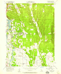
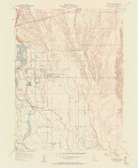
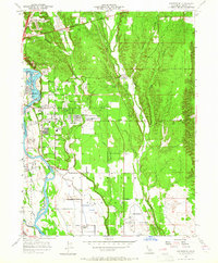
Editions of this 1957 Enterprise Map
6 editions found
Other maps of this area

1890 · Red Bluff
USGS Topo · 1:250,000

1894 · Red Bluff
USGS Topo · 1:250,000

1901 · Redding
USGS Topo · 1:125,000

1932 · Olinda
USGS Topo · 1:31,680

1935 · Olinda
USGS Topo · 1:31,680

1944 · Redding
USGS Topo · 1:62,500

1944 · Tuscan Buttes
USGS Topo · 1:62,500

1946 · Redding
USGS Topo · 1:62,500

1947 · Tuscan Buttes
USGS Topo · 1:62,500

1947 · Anderson
USGS Topo · 1:62,500